Elevation: 5,245 ft
Prominence: 100
This butte is not in the book. Published October 2025
Butterfly Butte is a rather insignificant crater-butte located on the north side of US-20 west of Idaho Falls. It is located on unposted, private land with no fencing and is easily accessed from some unmapped 2-track roads on its south side. USGS Butterfly Butte
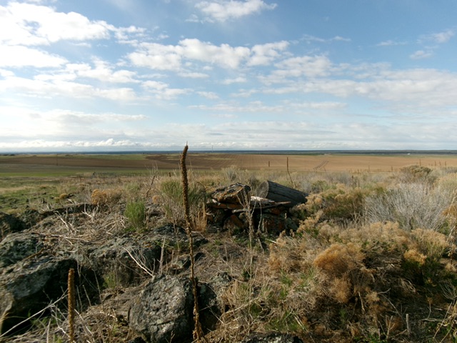
The official/west summit of Butterfly Butte. Livingston Douglas Photo
Access
From US-20 west of Idaho Falls at MM294, turn north onto [signed] 135th West. Drive north to a signed junction with 65thNorth. Go west on 65th North for 0.9 miles to an unsigned junction with an unmapped 2-track road heading north toward Butterfly Butte. Drive 0.3 miles up this 2-track and park in a pullout area at an unsigned road junction. A weak 2-track heads northwest from here. A better 2-track heads north and provides access to the east summit. This junction is at 5,190 feet and 43⁰33’29”N, 112⁰19’23”W.
Map Errors
The USGS map fails to show all of the 2-track roads in this area.
South Face/South Rim, Class 2
The Climb
The official high point of Butterfly Butte sits on the southwest rim of the crater. From the pullout at the road junction, scramble west along the south rim then northwest briefly to reach the unassuming high point. The terrain is a mess of rocky berms, sagebrush and other scrub, tumbleweeds, boulders, bulldozed sections, and gaps. The summit is rocky. The bottom of the crater is filled with all kinds of refuse. Not a pretty sight.
I also investigated the east summit since it is of similar height. The east summit is on the east rim and is much easier to reach, mostly via a 2-track road that runs north alongside irrigated farmland to the east. A short scramble leads to the rocky east summit. My altimeter measured the west and east summits of equal height but the USGS map shows a higher contour for the west summit.
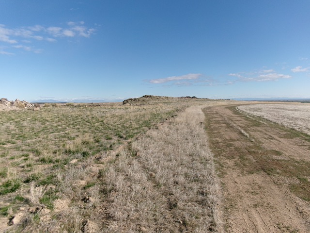
The east summit of Butterfly Butte and the unmapped road leading up to it. Livingston Douglas Photo
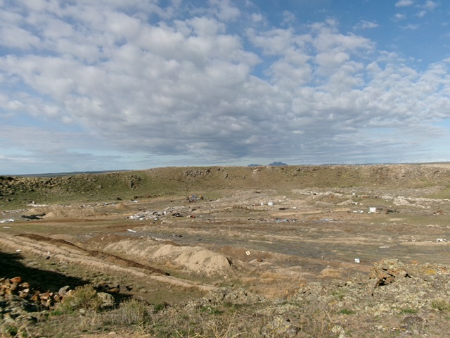
Butterfly Butte (west summit) as viewed from the east summit. The refuse-strewn crater lies in between. Livingston Douglas Photo
Additional Resources