Elevation: 5,138 ft
Prominence: 183
This butte is not in the book. Published October 2025
Camas Butte is a gentle hump on the Snake River Plain due west of I-15. A good gravel 2-track road gets you pretty close to the summit area. This double-humped peak has two summits. Contrary to LOJ, the east summit is the high point (5,140+). USGS Cedar Butte
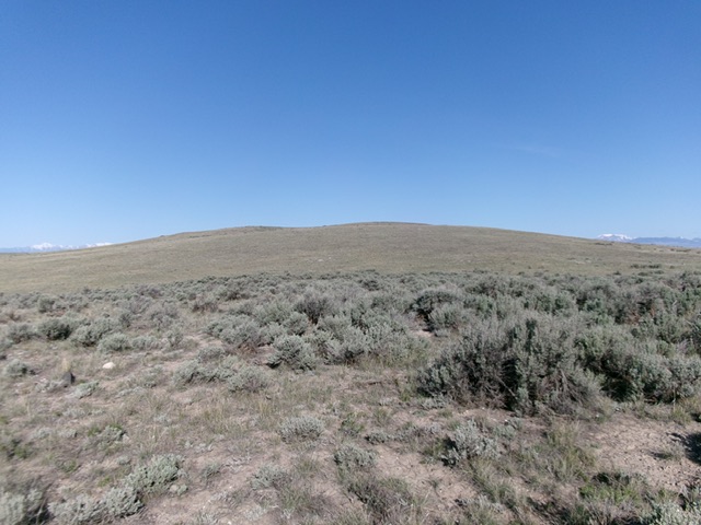
Camas Butte as viewed from the east (start of climb). Livingston Douglas Photo
Access
Same as for Table Butte (5,235 feet) except continue north on the frontage road for another 2.5 miles to a signed junction with Beaver Creek Road. Turn left/west onto Beaver Creek Road and reset your odometer. Go under I-15 to its west side and continue straight/west onto an unsigned, good gravel 2-track road (shown as Snake River Plain Road on the USGS topo map). Do NOT continue right/north on Beaver Creek Road. At 2.1 miles, reach an unsigned junction on a saddle/ridge crossing. Go left/west here onto a weaker 2-track road and drive 100 yards to where the road gets very rocky. Park along the road here [5,065 feet; 44°03’04”N, 112°16’53.6”W].
Map Errors
The USGS map erroneously shows another road (with a frontage road that does not exist) to the south of the correct 2-track road heading west. That other road (to the south) does not exist. LOJ fails to show this 2-track road, which heads directly at Camas Butte.
East Face, Class 2
The Climb
From the improvised roadside pullout, bushwhack west across and up easy, short field grass with scattered sagebrush to reach the semi-rocky east summit. I built a cairn on top. Contrary to LOJ, the east summit is the high point as it sits above a higher final contour line than the [measured] west summit. From the east summit, traverse southwest to the official, measured summit where there is a cairn, which I built up a bit. Visit both summits to be sure that you’ve stood atop the actual high point. My GPS found the east summit to be about two feet higher than the west summit.
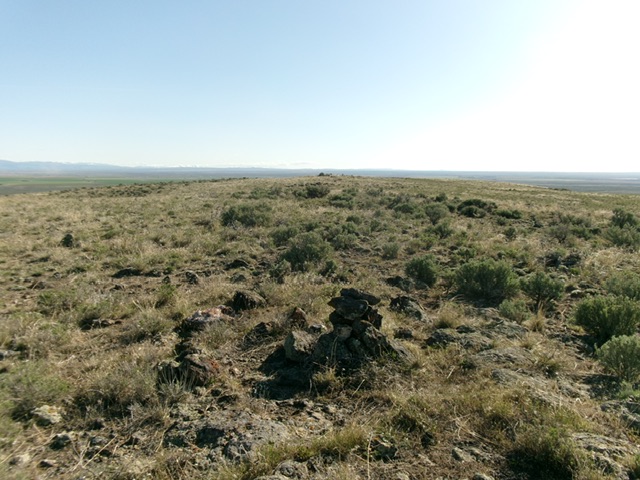
Looking at the east summit from the official/west summit. Livingston Douglas Photo

The east summit of Camas Butte. Livingston Douglas Photo
Additional Resources