Elevation: 7,006 ft
Prominence: 66
This peak is not in the book. Published October 2025
Castle Rock is a rocky outcrop that is located just off a BLM road in the foothills of the Caribou Mountains. It is one of six “Castle Rock” peaks and three other “Castle Rocks” in the State of Idaho. This Castle Rock is a piker compared to the rugged 8,781-foot Castle Rock in the White Knob Mountains. USGS Castle Rock
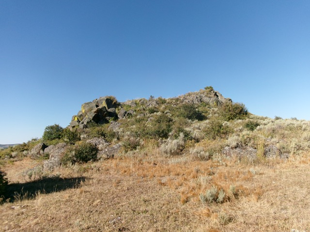
Castle Rock as viewed from the BLM road to its northeast. Livingston Douglas Photo
Access
From Exit 116/Sunnyside Road on I-15 in Idaho Falls, drive east on Sunnyside Road all the way to its end at a “T” junction with Bone Road. Drive south on Bone Road for 0.1 miles to a signed junction with Eagle Pass Road. Go left/east on Eagle Pass Road (which soon merges into Kepps Crossing Road) and drive 8.3 miles to a signed junction with Dan Creek Road. Reset your odometer here.
Turn right/south onto Dan Creek Road and drive 10.0 miles to an unsigned road junction. Go left/southeast on a decent dirt road and drive 2.5 miles to just past a cattle guard on the east side of [obvious] Castle Rock. There is a side road (on unposted, private land) that leads to the base of Castle Rock prior to my parking pullout spot. My spot (and route) is entirely on BLM land. My parking spot is at [6,930 feet; 43°16’53.2”N, 111°33’53.8”W].
East Face, Class 2-3
The Climb
From the parking spot, bushwhack southwest then west to skirt the left/south side of a patch of aspens in thick-ish scrub to reach the base of the rocky east face. Scramble up a mix of boulders, face rock, and scrub to reach the summit boulders. Stand on three different boulders of similar height to be sure that you caught the high point. My ascent line had more rock and less brush (Class 3). My descent line was flatter but had more brush (Class 2).
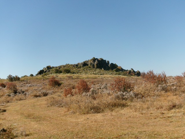
Approaching the summit rocks. Livingston Douglas Photo
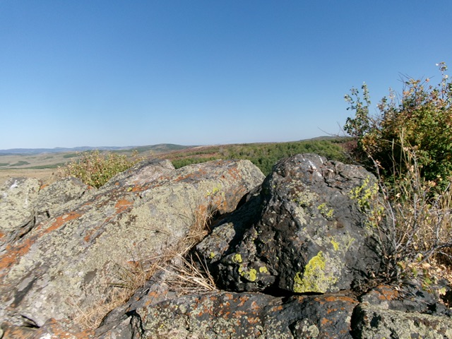
The summit boulders atop Castle Rock. Livingston Douglas Photo
Additional Resources
Regions: Caribou Range->SOUTHERN IDAHO
Mountain Range: Caribou Range
Longitude: -111.5665 Latitude: 43.2808