Elevation: 7,550 ft
Prominence: 240
This peak is not in the book. Although listed as a summit in the Snake River Plain, this peak is arguably part of Nevada’s Jarbidge Mountains which spill over the Idaho border. Published October 2025
China Mountain sits above both Browns Canyon and the headwaters of China Creek. It is most easily approached from Browns Bench Road to its east. USGS Browns Bench South
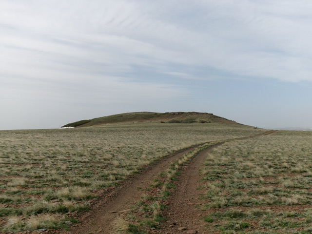
China Mountain as viewed from the north. Livingston Douglas Photo
Access
From downtown Rogerson, drive west on the paved Rogerson-Jarbidge highway for 9.3 miles to a signed left/south turn for Browns Bench Road (signed for “China Creek 12 Miles”). Drive south on this well-maintained county road 9.8 miles to an unsigned junction with a 2-track road heading right/west. Drive 1.0 mile west (then southwest) on this “OK” 2-track road to a cattle gate where the road becomes much rougher and, soon after, becomes a rugged, rocky, steep jeep trail heading up Browns Canyon. Park at this cattle gate [5,622 feet; 42°04’17.4”N and 114°49’03.4”W]. The LOJ land management map shows an area of private land on the north side of China Mountain but I found no signage, fencing, or orange paint to prohibit entry.
Map Errors
There are many unmapped 2-track roads in this area.
North Ridge/East Face Direct Route, Class 3
The Climb
From the cattle gate, cross the gate/fence and follow a rugged jeep trail as it heads northwest (briefly) then west then southwest up Browns Canyon. In about two miles, reach an unsigned road junction. Go right/west onto a weaker 2-track that drops quickly to a 4-way junction with another weak 2-track. Go straight through a cattle gate to continue up the spur road that you’re already on (the other 2-track is not shown on maps). Continue hiking northwest up the spur road, staying right at two junctions.
Leave the spur road soon after the 2nd unsigned junction at a spot where accessing a magnificent, grassy shoulder heading left/southwest is in easy scrub and avoids willows/aspens and an ugly gully. Scramble northwest up through easy, open field grass on the shoulder until it runs out. Bushwhack up a thick mix of awful willows and steep boulders to reach the ridge crest. Skirt the bottom of the final buttress (go left/southwest at its base) to reach the blessed, easy, open grass on the north ridge. Drop about 35 feet on an old, weak 2-track road to reach a road junction as you begin the southward trek to the summit.
From the unsigned road junction, follow a 2-track ridge road (not shown on maps) to get close to the rocky summit of China Mountain. Leave the road at a cattle gate/fence and scramble left/southeast then south to quickly reach the cairned summit. The rocky summit block sits well back and is not visible until you are very high on the ridge road. The summit high point has a cairn and a 2024 memorial cross on it.
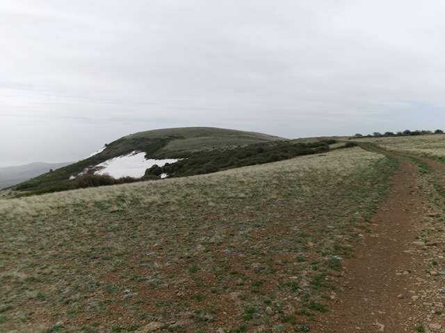
The summit hump finally comes into view. Livingston Douglas Photo
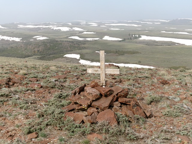
The summit cairn atop China Mountain. Livingston Douglas Photo
North Ridge/Road Route, Class 2
The Descent
From the summit, descend the ridge road back to the junction then follow the ridge (staying left/west of thick brush, willows, and aspens) all the way back to a point where you can easily bushwhack right/east back to the spur road. Follow the spur road back to the Brown Canyon jeep trail then follow this road/trail for two miles back to the cattle gate and your parked vehicle.
Additional Resources