Elevation: 4,875 ft
Prominence: 50
This butte is not in the book. Published October 2025
Clay Butte is a minor hump that sits above Mud Lake. It is in the Mud Lake Wilderness Study Area land and is open to the public, contrary to the LOJ land management map. Clay Butte can be easily reached on good BLM and State of Idaho roads in this area. No fencing, no signage, no private land. USGS Rays Lake
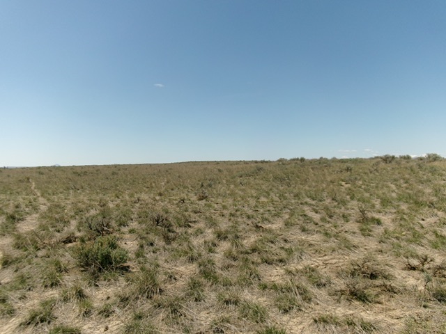
Clay Butte as viewed from the northeast (start of climb). Livingston Douglas Photo
Access
From Exit 150/Hamer on I-15, follow a paved road on the west side of I-15 west then south then southwest (where it becomes E2050N) then south (where it becomes 2350E) to reach a signed “T” junction with 1900N at 2.0 miles from Exit 150. Reset your odometer at this junction. Go right/west onto 1900N. At 2.9 miles the paved road bends left/southwest. Go straight here onto a gravel road (which is still 1900N). At 5.9 miles, reach a signed junction with 1750E (North Lake Road on maps).
Turn right/north onto 1750E. At 7.3 miles, reach an unsigned road junction. Go left/west here. At 7.8 miles, reach an unsigned junction with a Mud Lake Wilderness Management Area 2-track road heading left/south. This road is soon signed as North Bluff Road. At 8.0 miles, go right at a signed junction to stay on North Bluff Road. At 8.8 miles, park alongside the road (as I did) at 4,866 feet and 43°54’30.5”N, 112°21’45.2”W or, better yet, continue southwest then northwest on the 2-track road as it circles Clay Butte and passes pretty close to the true summit, as I found out. This 2-track road is narrow but is in decent shape.
East Face, Class 2
The Climb
From my pullout, bushwhack west up through easy field grass to reach the fence section that is the east summit. Continue west for another 1/8 mile to a slightly higher point with a fence section on it. Contrary to LOJ, This is the high point of Clay Butte. The top of Clay Butte is pretty flat. The summit offers a nice view of Mud Lake to the south.
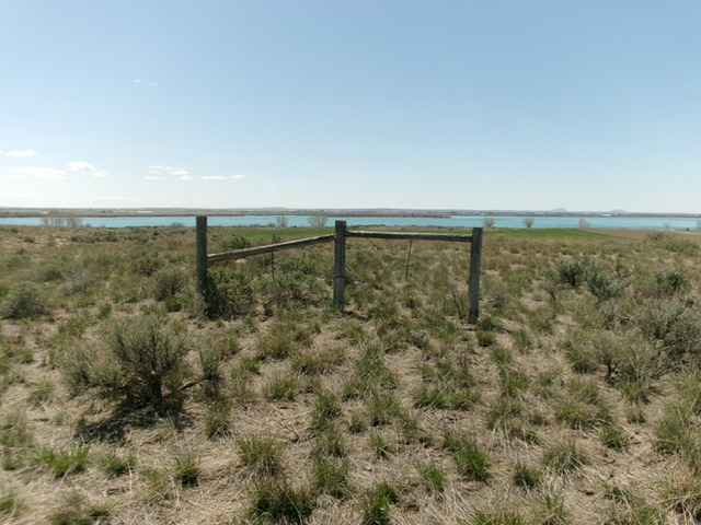
The west summit (high point) of Clay Butte with Mud Lake in the distance to the south. Livingston Douglas Photo
Additional Resources