Elevation: 5,334 ft
Prominence: 229

This butte is not in the book. Published October 2025
Coonskin Butte is located on the northwest side of Devil Creek and the Big Bend Crossing. It is in a remote area of the Snake River Plain but has good BLM roads that get you reasonably close to it. USGS Coonskin Butte
Coonskin Butte as viewed from the east. Livingston Douglas Photo
Access
From Buhl, Idaho, follow US-30 south as it weaves its way to become 3700N. Head west on 3700N/Balanced Rock Road to the Balanced Rock picnic area in Balanced Rock County Park, just up and northwest of the bridge crossing of Salmon Falls Creek. Reset your odometer at this parking/picnic area on the right/north side of the road. Continue driving northwest on Balanced Rock Road/US-30. At 1.1 miles, leave US-30 and drive left-ish onto a good gravel road.
This is the continuation of Balanced Rock Road. At 2.9 miles, reach a signed BLM road junction. Go left/south onto a BLM road signed for “Coonskin Butte 20 Miles.” Reset your odometer at this junction. Let’s call this road Coonskin Butte Road. Turn south onto the maintained BLM road and drive 18.5 miles to reach the southeast face of Coonskin Butte. I parked just before reaching a crest in the road (there is no pullout on the crest) at 5,130 feet and 42°20’44.4”N, 115°07’30.8”W. Alternatively, you can continue another 0.7 miles southwest on the BLM road and reach a fence row and cattle guard crossing. Follow the fence row north to the summit.
Map Errors
The USGS topo map shows a side road heading up the south face of Coonskin Butte to the summit. That road no longer exists but a fence row is there and can be followed on foot.
Southeast Face, Class 2
The Climb
From the improvised parking spot along Coonskin Butte Road, bushwhack northwest through reasonable field grass and sagebrush to reach the summit area. I found the USGS benchmark (“High Boy”) and built a cairn there.
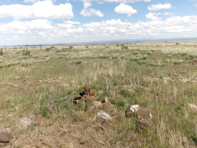
The summit of Coonskin Butte. Livingston Douglas Photo
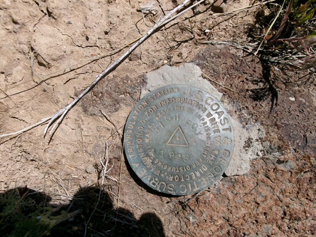
The USGS benchmark (“High Boy”) atop Coonskin Butte. Livingston Douglas Photo
Additional Resources