Elevation: 4,430 ft
Prominence: 95
This butte is not in the book. Published October 2025
Devil Creek Butte is a rather indistinct grassy hump that is located on the east side of Tuanna Road and just west of Devil Creek in a remote area of the Snake River Plain. USGS Tuanna Butte
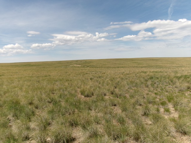
Devil Creek Butte as viewed from the northwest (start of climb). Livingston Douglas Photo
Access
From Buhl, Idaho, follow US-30 south as it weaves its way to become 3700N. Head west on 3700N/Balanced Rock Road to the Balanced Rock picnic area in Balanced Rock County Park, just up and northwest of the bridge crossing of Salmon Falls Creek. Reset your odometer at this parking/picnic area on the right/north side of the road. Continue driving northwest on Balanced Rock Road/US-30. At 1.1 miles, leave US-30 and drive left-ish onto a good gravel road. This is the continuation of Balanced Rock Road. At 2.9 miles, reach a signed BLM road junction. Go left/south onto a BLM road signed for “Coonskin Butte 20 Miles.” Let’s call it Coonskin Butte Road. Reset your odometer at this junction.
At 5.6 miles, reach an unsigned junction with a rugged 2-track road heading left/southeast. There is a water tank at this junction (also shown on the USGS topo map). Head southeast on this rugged 2-track for 2.2 miles (passing a pumphouse along the way) to an unsigned 4-way junction with rugged Tuanna Road. Go right/southwest onto Tuanna Road and drive 0.8 miles to a “Tuanna Road” sign and park alongside the road [4,182 feet;42°27’44”N and 114°58’10”W].
Northwest Face, Class 2
The Climb
From Tuanna Road, bushwhack southeast then south-southeast in easy grass and scrub (mostly field grass) to reach the open benchmark area on the north summit of Devil Creek Butte. Continue south through reasonable field grass to reach the high point and the official summit.
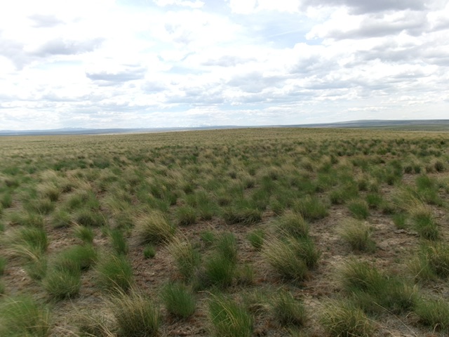
The sagebrush summit hump of Devil Creek Butte as viewed from the [lower] north summit. Livingston Douglas Photo
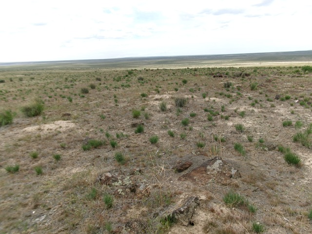
The semi-bare summit of Devil Creek Butte. Livingston Douglas Photo
Additional Resources