Elevation: 3,130 ft
Prominence: 167
This butte is not in the book. Published October 2025
Dorsey Butte is a rocky outcrop that is located atop a plateau on the east side of the Snake River west-southwest of Mountain Home. It sits on public land (Snake River Birds of Prey Area) in Elmore County and is easily accessible via a series of BLM 2-track roads. USGS Dorsey Butte
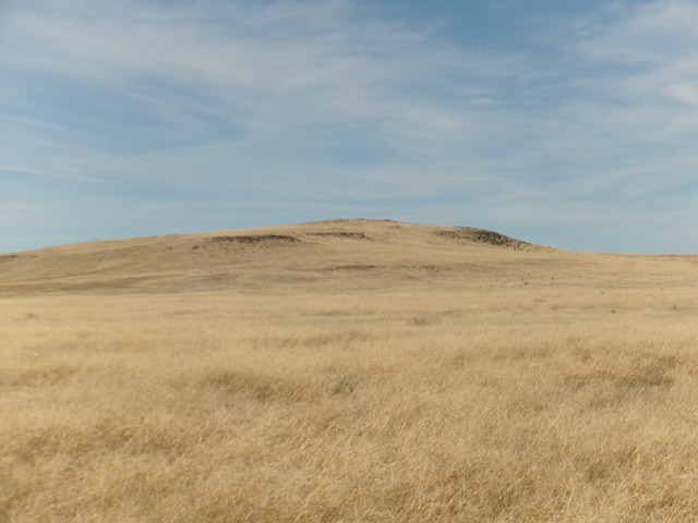
Dorsey Butte as viewed from the west (start of hike). Livingston Douglas Photo
Access
From ID-167 northeast of Grandview at virtual MM6.6, turn left/northwest onto a 2-track road that follows a set of power lines. Make two left turns early on to avoid going into nearby gravel pits. At 2.8 miles, leave the power lines road at an unsigned junction and go right/north onto a black cinder, 2-track BLM road. Drive 1.2 miles on this decent 2-track road and park near BM2970 (shown on the USGS topo map) alongside the road. This parking spot is at 2,980 feet and 43°05’02.1”N, 116°03’57.2”W.
Map Errors
There are numerous roads shown on the USGS topo map that no longer exist.
West Face, Class 2
The Climb
From the improvised parking spot along the BLM road, bushwhack east-northeast directly at the rocky summit area through a field of thick, annoying, endless tumbleweeds. Look for bare patches or matted-down areas of field grass to make this bushwhack easier. Higher up, tedious ground talus/boulders join the mix. The summit area is bare and rocky. I built two summit cairns atop the highest boulders. As per LOJ, the west summit is clearly higher than the east summit.
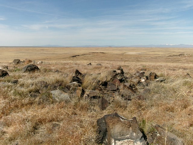
The boulder-and-grass summit of Dorsey Butte. Livingston Douglas Photo
Additional Resources