Elevation: 3,153 ft
Prominence: 103
This peak is not in the book. Published October 2025
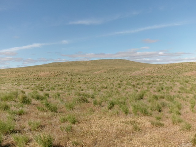
Flint Mesa is located southeast of Glenns Ferry, between Black Mesa and Deadman Flat. It is easily approached via several decent county roads in the area. USGS Twentymile Butte
Flint Mesa (dead center) as viewed from the northeast. Livingston Douglas Photo
Access
From Exit 125 on I-84, head south toward Paradise Valley. This is North Coblantz Road, unsigned at this point. At 2.4 miles, reach a “T” junction. Go left/southeast onto [signed] Pasadena Valley Road. At 3.7 miles, go right/southwest onto [signed] East Black Mesa Road. At 9.1 miles, reach a signed junction with Bell Rapids Road. Go right/south onto Bell Rapids Road and drive 2.3 miles. Park alongside the road here [3,135 feet; 42°52’31.9”N, 115°10’55.4”W].
There are two roads that might offer better access to Flint Mesa. The first is Flint Mesa Road (West). This signed road comes east from Grindstone Butte Road at a sharp bend. The second is East Flint Mesa Road. This road is south of Flint Mesa and is 4.7 miles south of my departure point from Bell Rapids Road.
Map Errors
The roads and Oregon Trail on the east side of Flint Mesa no longer exist.
East Face, Class 2
The Climb
From Bell Rapids Road, bushwhack west then southwest to reach the edge of a butte of sorts. Descend southwest down gravel and field grass to cross the undulating valley floor. From the valley floor, scramble southwest up to the tilted summit area. The terrain is mostly field grass but has standard sagebrush on the summit and on the initial “butte.”
The high point of Flint Mesa is a bit unclear. I found a survey pole laying on the ground at the far west end of the summit ridge area. However, the GPS coordinates from LOJ suggest that the high point is east of here. Visit both spots just to be sure that you’ve stood atop the high point. The LOJ high point has no cairn, survey markers, or benchmarks atop it.
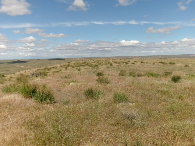
The flat summit of Flint Mesa. Livingston Douglas Photo
Additional Resources