Elevation: 5,890 ft
Prominence: 120
This peak is not in the book. Published October 2025
Galbraith Hill sits above Ammon and offers a beautiful view of both Ammon and Idaho Falls. It is accessible from nearby Sunnyside Road. Galbraith Hill is entirely on private land. However, it has an access road to it that seems to be heavily used by the public and leads very close to the summit. USGS Ammon
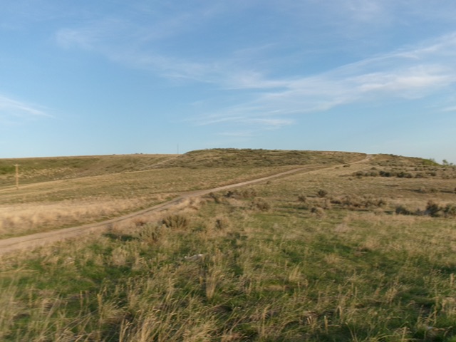
Galbraith Hill as viewed from Sunnyside Road to its northeast. Livingston Douglas Photo
Access
Please obtain permission before conducting this climb. Galbraith Hill is on posted, private land. However, an open fence gate seems to allow the public to hike up it. From the junction of Sunnyside Road and Ammon Road in Ammon, Idaho, drive east on Sunnyside Road for 6.4 miles to a junction with a side spur road and a fence gate. Park here along Sunnyside Road to not block the gate [5,775 feet; 43°26’11”N, 111°52’32”W].
Map Errors
The USGS topo map fails to show all of the 2-track roads on Galbraith Hill.
Northeast Ridge, Class 2
The Climb
From Sunnyside Road, hike southwest up a dirt road up to an unsigned junction at the northeast end of Galbraith Hill. Go left/south onto an unmapped dirt road that follows the northeast ridge of Galbraith Hill. Leave this road when it crests and bushwhack a short distance right/northwest to the summit area. There is no summit cairn or obvious high point.
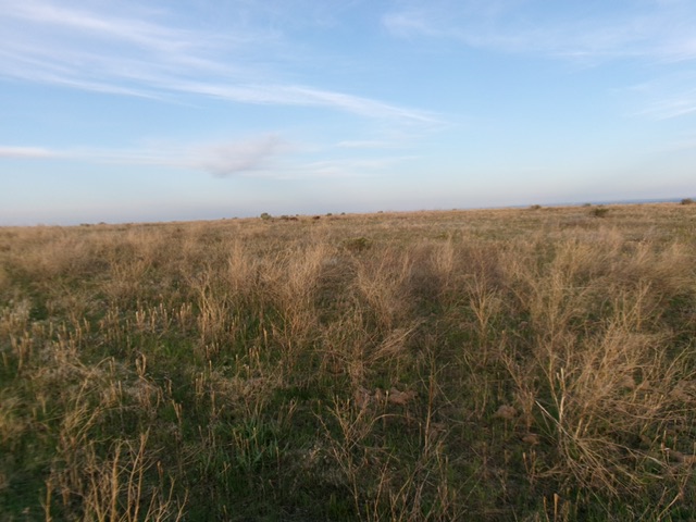
The flat, grassy summit of Galbraith Hill. Livingston Douglas Photo
Additional Resources