Elevation: 5,896 ft
Prominence: 1,516
This peak is not in the book. Updated October 2025 by Livingston Douglas
This somewhat-isolated Boise Mountain summit is a great destination for hikers in the spring. Grape Mountain sits east of the Irish Creek boat ramp on Arrowrock Reservoir. It is the highest point on the west end of the land that separates the Middle and South Forks of the Boise River. A road (gated and closed) leads to the summit. The peak was burned over at some point in the past. The forest is recovering nicely on the north slopes. USGS Grape Mountain
Grape Mountain viewed from the road to its east
Access
The peak is approachable from the east via Slide Canyon Road [(C)(1)] that connects the Middle Fork Boise River Road [(C)(1)] and the Upper Blacks Creek/South Fork Boise River Road [(G)(1) and (1.1)]. Follow the twisting, rough Middle Fork Boise River Road from ID-21 past Lucky Peak and Arrowrock Reservoir. Turn onto Slide Gulch Road about 8 miles past Cottonwood Road. You will cross a pass in 3.5 miles. Descend 1.7 miles from the pass and turn west/right onto an [unsigned] dirt road and follow this road for 1.0 miles until you reach the gate closing on the road that leads to the summit.
Livingston Douglas adds “Grape Mountain Road is mostly unmapped and confusing. Go right (stay on the main road) at an unsigned junction with a weak, 2-track connecting road about a mile up from the gated road closure and at about 4,620 feet. Stay on the weaving road after it crests then turns left/south and drops 100 vertical feet and weaves its way back toward Grape Mountain. Go right at an unsigned road junction where the communication tower-clad summit hump is now in view (to the right).”
Map Errors
The USGS topo map has numerous errors with respect to the mountain roads (and their positions) in this area that still exist or no longer exist. Don’t rely on it. The Grape Mountain Road is mis-positioned and is missing its final section to the top of Grape Mountain.
Road Walk, Class 1
I recommend climbing the peak via the road. The peak’s slopes are mostly open for cross-country travel but the road offers an easy, albeit long, walk to the summit. My GPS watch recorded a 9.3-mile round-trip journey. A notation in the summit register reported that another GPS calculated the route at 5.5 miles one way. I doubt that either figure is accurate. If you want to try something different, Zach Vickery climbed the peak from the West after kayaking across Arrowrock Reservoir.
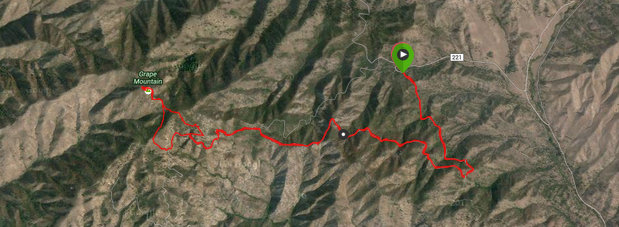
This track shows the route I took to the summit. The topo maps do not show the road leading to the summit.
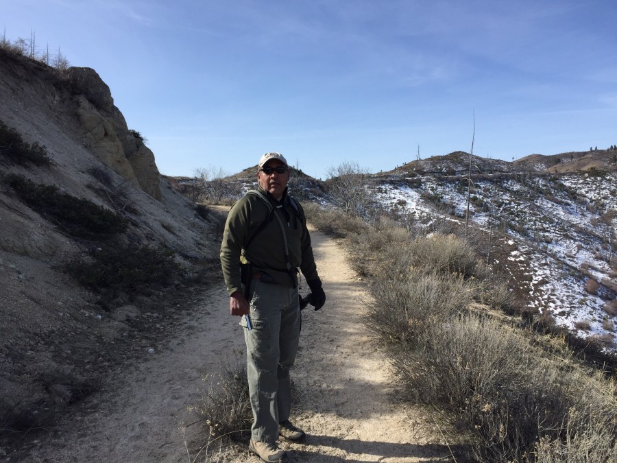
The road to the summit is a good hiking trail
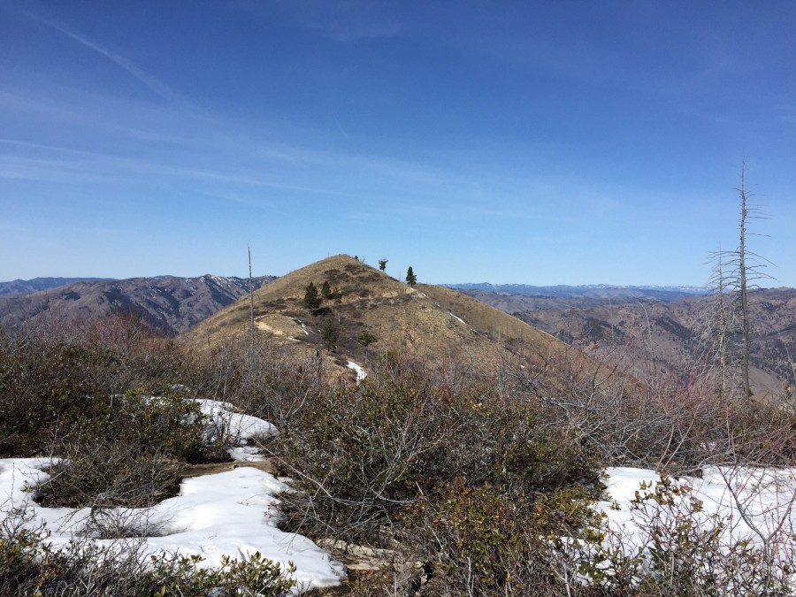
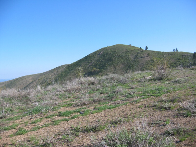
The summit of Grape Mountain as viewed from the east
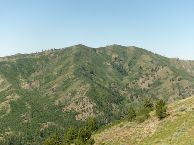
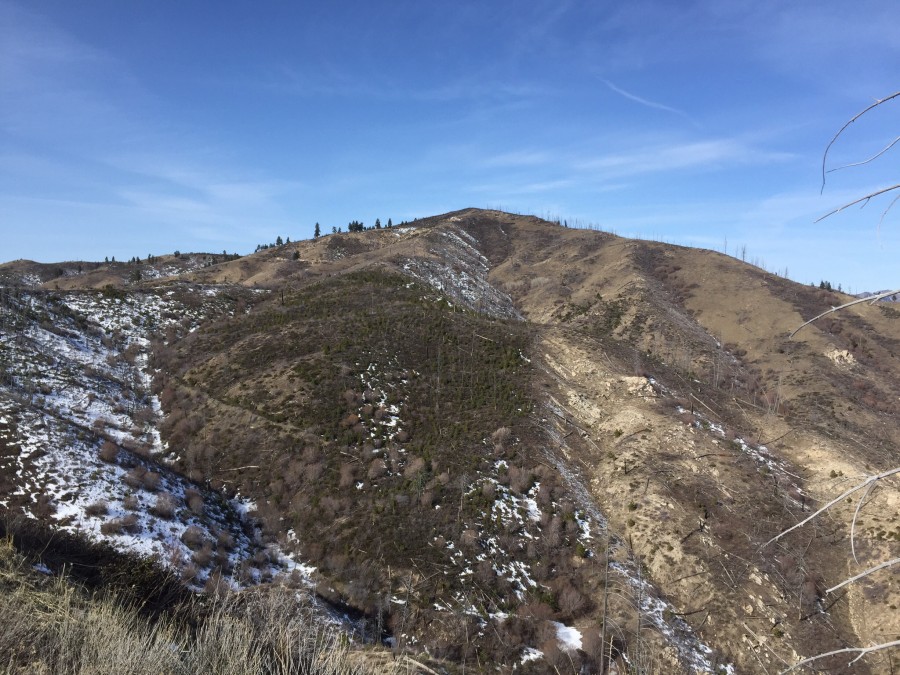
Grape Mountain (summit is in dead center) as viewed from Peak 5424 to its northeast. Livingston Douglas Photo
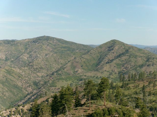
Grape Mountain (left hump) and Peak 5587 (right hump) as viewed from Krall Mountain to the east. Livingston Douglas Photo
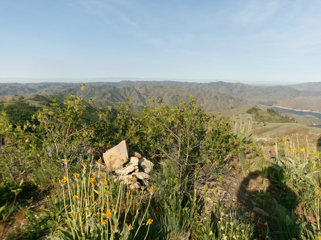
The cairned summit of Grape Mountain with Arrowrock Reservoir in the distance at far right. Pardon my shadow. Livingston Douglas Photo
Additional Resources
Regions: Boise Mountains->WESTERN IDAHO
Mountain Range: Boise Mountains
Year Climbed: 2015
Longitude: -115.77139 Latitude: 43.60829