Elevation: 3,494 ft
Prominence: 181

This butte is not in the book. Published October 2025
Grindstone Butte is located just north of the Elmore/Owyhee County Line and sits just east of Grindstone Butte Road/South Grindstone Road. It is an easy climb from the rugged spur road that leads to the summit area. USGS Grindstone Butte
The rocky summit outcrop of Grindstone Butte. Livingston Douglas Photo
Access
From I-84 at Exit 121/Glenns Ferry, drive west on Old Highway 30 for about two miles to Sailor Creek Road. Head left/southwest onto Sailor Creek Road as it drops to cross the Snake River on a good bridge. Continue along well-maintained Sailor Creek Road as it turns left/southeast and follows Deadman Canyon southward. After several miles, the road turns left/east and goes ½ mile to a signed junction with Grindstone Butte Road.
Go right/south onto Grindstone Butte Road, which jogs east then south several times (four times as I recall). The road becomes South Grindstone Road somewhere along the way. This is a paved road until the final two miles, where it becomes a well-maintained gravel road. At about 19.0 miles from Old Highway 30, you reach a junction with a rugged spur road (with a nice BLM sign) that heads east up to the summit area of Grindstone Butte. Drive 0.2 miles up this spur road and park [3,464 feet; 42°46’07.2”N, 115°15’28.5”W].
Map Errors
There are numerous erroneous roads shown on the USGS topo map, Don’t trust it. Follow the primary road (Grindstone Butte Road) as it jogs east then south several times to reach Grindstone Butte, which is obvious as you approach it.
West Face, Class 2+
The Climb
From the parking spot, hike east up the spur road then drop 15 feet to reach the summit rocks. There are two USGS benchmarks on top.
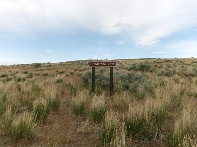
Grindstone Butte with the BLM sign at its base. Livingston Douglas Photo
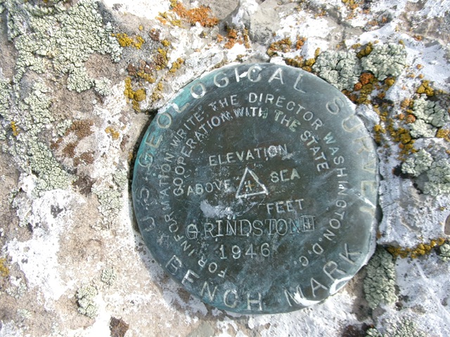
The USGS benchmark atop Grindstone Butte. Livingston Douglas Photo
Additional Resources