Elevation: 2,628 ft
Prominence: 40
This butte is not in the book. Published October 2025
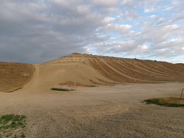
Hemingway Butte is a gravelly butte that is overrun with ATV and MC trails. This makes it challenging and, if ATVs and MCs are active, dangerous proposition to climb. The butte has multiple ridges and potential high points. USGS Wilson Peak
Hemingway Butte and its steep, ATV-trail-scarred east face. Livingston Douglas Photo
Access
Reynolds Creek Road [(A)(1) on Page 346]. From ID-78 just southeast of its junction with ID-45, turn west onto [signed] Reynolds Creek Road and reset your odometer. Drive 1.9 miles west then southwest up Reynolds Creek Road to the large, signed trailhead parking area for “Hemingway Butte Trailhead.” Park in the back of the large trailhead parking area at the base of the southeast end of the butte [2,500 feet; 43°19’29.4”N, 116°38’34.8”W].
Map Errors
There are numerous ATV and MC trails on this butte, none of which are shown on the USGS topo map.
East Face/Southeast Ridge, Class 1
The Climb
From the trailhead parking area, hike up a steep ATV trail on the east face. If necessary, scramble up the short grass/scrub next to the ATV trail for better footing. Once on the ridge crest, follow an ATV trail right/northwest to the first high ridge. Continue on to a second, slightly-higher ridge after dropping 20 vertical feet to cross a gully. Once on the second ridge, leave the ATV trail and scramble a short distance left/west (or northwest) to the sagebrush summit area that is the high point of Hemingway Butte.
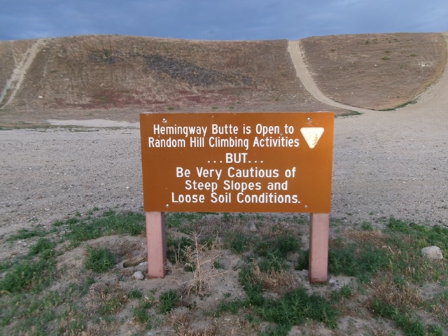
The BLM sign at the base of Hemingway Butte. Livingston Douglas Photo
The sagebrush-covered high point of Hemingway Butte. Livingston Douglas Photo
Additional Resources