Elevation: 5,049 ft
Prominence: 159
This butte is not in the book. Published October 2025
Horse Butte is located in the Bruneau Desert area of the Snake River Plain. It can be reached on decent BLM roads and is only a 10-minute bushwhack from nearby “Crows Nest Road.” USGS Horse Butte
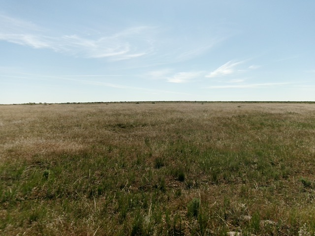
Horse Butte as viewed from the west (start of hike). Livingston Douglas Photo
Access
Same as for Coonskin Butte. From the cattle guard crossing on the south side of Coonskin Butte, continue driving south on “Coonskin Butte Road.” At 0.4 miles, reach a signed junction with another good BLM road heading right/northwest for “Crows Nest 23 Miles.” Turn right onto this maintained gravel road (“Crows Nest Road”) and drive 7.7 miles to where the road crosses the west face of Horse Butte. Park where the road crests on the west face [5,005 feet; 42°25’05.0”N, 115°14’14.4”W].
Map Errors
The USGS topo map shows numerous, nonexistent roads in this area. Don’t trust it.
West Face, Class 2
The Climb
From the improvised parking spot, bushwhack due east through easy field grass and sagebrush to reach the repeater antenna on the bare summit area. The repeater can be seen from the road so aim for it. I could not find a USGS benchmark or a higher point than the repeater.
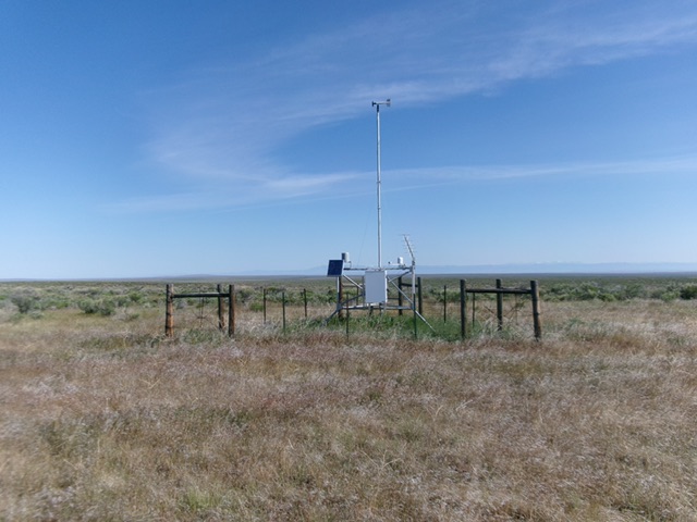
The summit of Horse Butte. Livingston Douglas Photo
Additional Resources