Elevation: 5,890 ft
Prominence: 195
This peak is not in the book. Published October 2025
Horse Hill is a rather insignificant hump that is located along the paved Rogerson-Jarbidge Highway. It is in the heart of the Inside Desert and sits northeast of Murphy Hot Springs and due south of Pence Butte. USGS Murphy Hot Springs
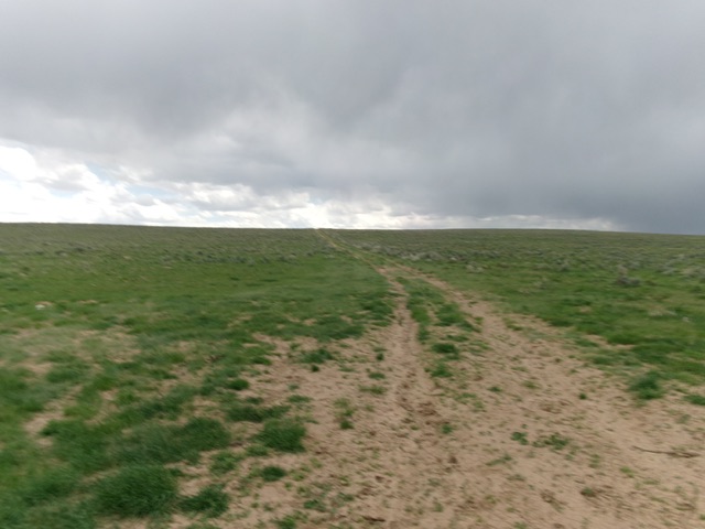
Horse Hill as viewed from the north (start of climb). Livingston Douglas Photo
Access
From Rogerson, drive southwest on the paved Rogerson-Jarbidge Highway all the way to an unmapped 2-track road that heads left/south up the northwest face of Horse Hill. Park at this junction [5,763 feet; 42°03’55”N and 115°16’42”W].
Map Errors
The USGS topo map fails to show the 2-track road that heads up the northwest side of Horse Hill. The same map shows spurious roads in this area that no longer exist. Don’t trust the USGS topo map.
Northwest Face, Class 2
The Climb
From the unsigned road junction, hike south up the rugged 2-track road to reach a saddle between the southwest summit hump and the northwest summit hump. Head right/southwest here and bushwhack through thick-ish sagebrush to reach the semi-open summit area of Horse Hill. There is no summit cairn and I was unable to find the Big Flat USGS benchmark. Stand on the highest ground boulders to satisfy yourself that you have conquered the high point of Horse Hill.
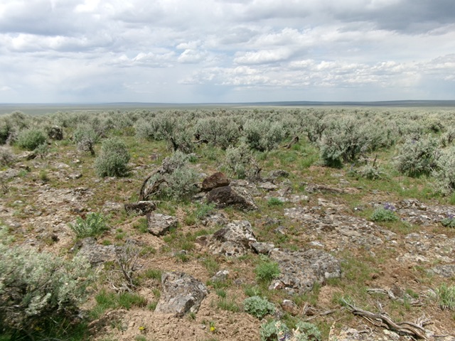
The rock and sagebrush summit of Horse Hill. Livingston Douglas Photo
Additional Resources