Elevation: 3,606 ft
Prominence: 216
This peak is not in the book. Published October 2025
Horse Hill is located west of Hot Creek and south of Bruneau. It sits between ID-51 to the west and Hot Creek Road to the east. Horse Hill is more of a lengthy ridge with multiple high points than a “hill.” USGS Broken Wagon Flat

Horse Hill as viewed from the east. Livingston Douglas Photo
Access
From ID-78 in downtown Bruneau, drive southeast on [signed] Hot Springs Road for 7.4 miles to a signed junction with Hot Creek Road. Reset your odometer here. Turn right/west onto Hot Springs Road. At 0.2 miles, bear right/northwest at a road fork. At 0.6 miles, turn left/south at an unsigned road junction. This is the Blackstone-Grasmere Road. Drive south on Blackstone-Grasmere Road for 4.5 miles and park alongside the road at 2,961 feet [42°44’23.5”N, 115°45’52.2”W].
East Face, Class 2
The Climb
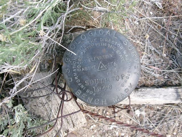
From Blackstone-Grasmere Road, bushwhack southwest then west through grass and tumbleweeds, crossing knolls and gullies. Climb up a final shoulder/face to reach a high ridge. Head left/south on this narrow, grassy ridge then right/west to the high point of Horse Hill. The summit has a metal post and two USGS benchmarks atop it. This bushwhack requires lots of ups and downs and endless tumbleweeds that will tangle up your feet/boots. Be patient. When you first see the hill, it appears a long ways off but the terrain goes faster than you expect. The summit of Horse Hill is the southernmost of several high ridge points as the USGS map shows.
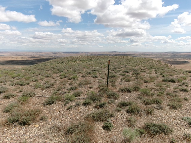
The flat, gravel-and-scrub summit of Horse Hill. Livingston Douglas Photo
The USGS benchmark (“South Top”) atop Horse Hill. Livingston Douglas Photo
Additional Resources