Elevation: 4,703 ft
Prominence: 83
This peak is not in the book. Published October 2025
Horse Race Ridge sits west of Soldier Cap in the Owyhee Mountains. It is an easy bushwhack from nearby Wilson Creek Road to its east. USGS Soldier Cap
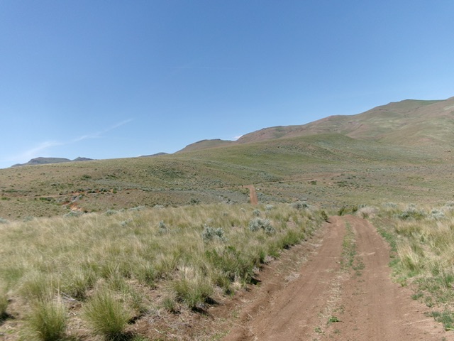
Horse Race Ridge (greenish ridge in mid-ground) as viewed from the east. Livingston Douglas Photo
Access
See the Wilson Creek Access page. Drive 10.3 miles up Wilson Creek Road (signed as “Wilson Road” at ID-78) to a saddle on Horse Race Ridge. Park here in a nice pullout/campsite on the west side of the road [4,552 feet; 43°17’13.7”N, 116°46’43.6”W]. Do not drive this far up Wilson Creek Road in wet conditions. It is a muddy, rutted mess and would be impossible to navigate.
Southeast Ridge, Class 2
The Climb
From the saddle on Wilson Creek Road, bushwhack northwest through clumpy field grass (with some lanes and bare areas early on) to reach the high point area. I found two potential high points, each with a decent ground boulder. The high point is farther north in the grassy summit hump area than LOJ indicates.
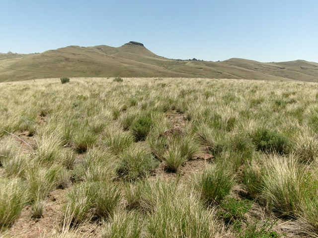
The grassy summit of Horse Race Ridge with Soldier Cap in the distance. Livingston Douglas Photo
Additional Resources
Regions: Owyhee Mountains->SOUTHERN IDAHO
Mountain Range: Owyhee Mountains
Longitude: -116.7859 Latitude: 43.2913