Elevation: 3,648 ft
Prominence: 118
This butte is not in the book. Published October 2025
Indian Butte is a minor hump located southeast of Bell Rapids Road near a decent 2-track dirt road. It is a four-minute bushwhack from the nearby road. USGS Indian Butte
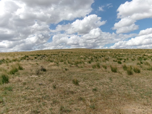
Indian Butte as viewed from the northeast. This was my ascent route. Livingston Douglas Photo
Access
Same as for Twentymile Butte. Continue 2.7 miles southeast on Bell Rapids Road from the cattle guard crossing to reach an unsigned road junction at 3,419 feet and 42°46’50.7”N, 115°06’01.9”W. Drive 2.2 miles southeast on a surprisingly good 2-track dirt road. Pull off the road and park in the field grass [3,577 feet; 42°45’34.4”N, 115°04’09.2”W].
Map Errors
There are numerous road errors on the USGS topo map in this area. Don’t trust it.
Northeast Face, Class 2
The Climb
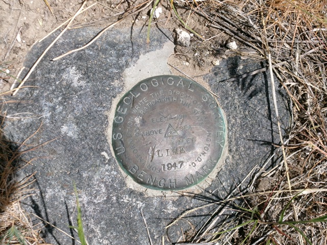
From the 2-track road, bushwhack southwest up through easy sagebrush to the semi-open summit. There are two USGS benchmarks on top.
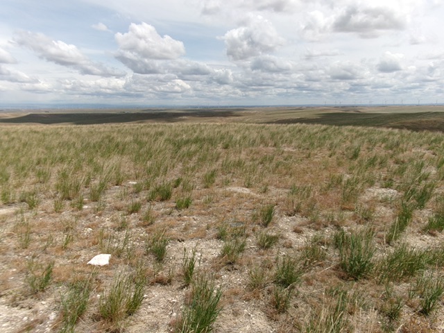
The summit of Indian Butte. Livingston Douglas Photo
The USGS benchmark (“Lime”) atop Indian Butte. Livingston Douglas Photo
Additional Resources