Elevation: 3,690 ft
Prominence: 60
This peak is not in the book. Published October 2025
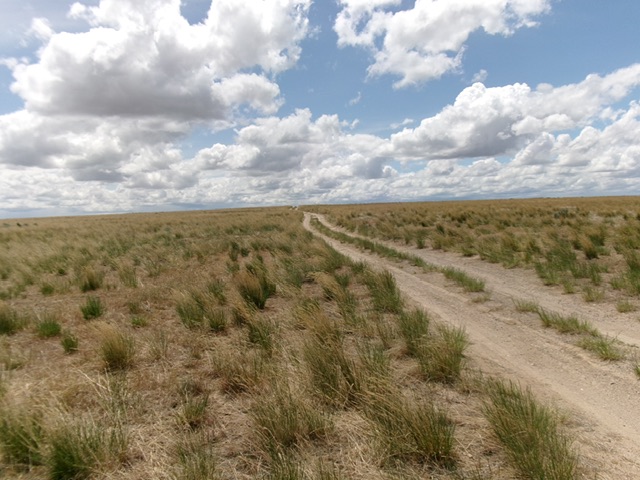
Indian Ridge HP is mostly a drive-up peak. Indian Ridge is a long north-south ridge that sits just west of the Owyhee/Twin Falls County line. USGS Crows Nest NE
Indian Ridge as viewed from the 2-track road heading up its north face. Livingston Douglas Photo
Access
Same as for Indian Butte. From the unsigned junction of Bell Rapids Road and the 2-track road that heads southeast to Indian Butte, drive east then southeast on Bell Rapids Road for 5.7 miles to a “T” junction with [signed] Crows Nest Road. Turn right/southwest onto Crows Nest Road and drive 2.7 miles to an unsigned junction with a short 2-track road heading south up to the top of Indian Ridge and beyond. Drive up this 2-track road to where It crests on Indian Ridge and park [3,693 feet; 42°42’44.9”N, 115°03’43.1”W].
Map Errors
There are numerous road errors on the USGS topo map in this area. Don’t trust it.
Northeast Face, Class 2
The Climb
From the 2-track road crest, bushwhack 15-20 feet east to the top of a dirt/gravel hump that is the high point of Indian Ridge.
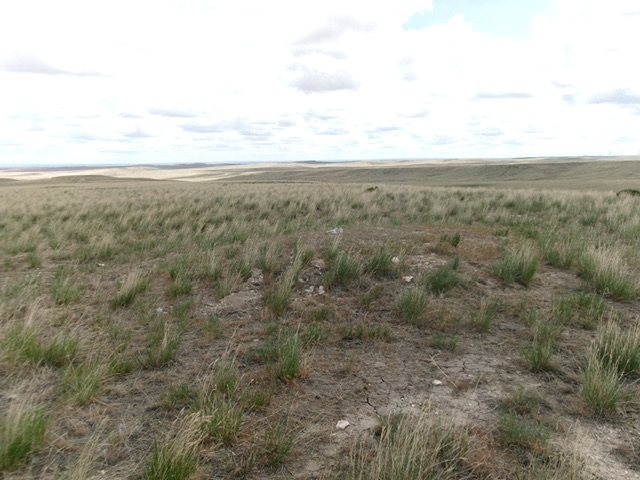
The summit of Indian Ridge is a minor, gravelly hump. Livingston Douglas Photo
Additional Resources