Elevation: 7,882 ft
Prominence: 142
This peak is not in the book. Published October 2025
This “Lava Mountain” is an unranked point on the long southwest ridge of Lava Mountain (8,703 feet). It is most easily reached from the Lower Lava Mountain Trailhead. USGS Prairie
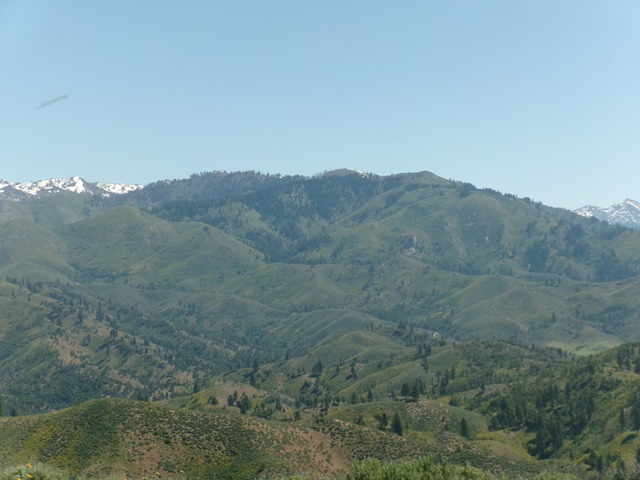
Lava Mountain (in mid-ground) as viewed from Peak 5480 to its southwest.
Livingston Douglas Photo
Access
From the junction of [signed] West Long Gulch Road/FSR-213 and Prairie Road on the west side of Prairie, reset your odometer here. Drive 2.4 miles west on West Long Gulch Road to a signed junction with West Blacks Creek Road/FSR-189. Head right/north on West Long Gulch Road for 3.8 miles to a signed junction with FSR-222. Reset your odometer here and turn onto FSR-222. At 0.8 miles up FSR-222 (a badly rutted, narrow 2-track), reach an unsigned junction and a gated road closure gate. Continue northeast up FSR-222B (signed for Lower Lava Mountain Trailhead) to the road’s end at the trailhead at 2.2 miles. Park here [5,870 feet; 43°34’02.4”N, 115°35’19.0”W].
West Spur/Southwest Ridge, Class 2
The Climb
From the trailhead, hike northeast on the narrow (but maintained) trail up a wet drainage. The trail leaves the drainage and climbs north up switchbacks to reach the crest of the west spur at just under 6,800 feet. Follow FST-125 as it heads southeast up the forested ridge and reaches a signed “T” junction on the southwest ridge at about 7,400 feet. Go right/southwest for FST-642.
Go left/northeast for FST-125. Go left/northeast here and follow the trail northeast then north up to the east side of the summit hump. Leave the trail when it crests just before passing well below the rocky, forested summit hump. Scramble west up onto the crest of the southwest ridge and follow it to the high point OR angle northwest up snow-free slopes to just under the rocky summit then scramble briefly west to the high point. The summit has a USGS benchmark but had no summit cairn, so I built one.
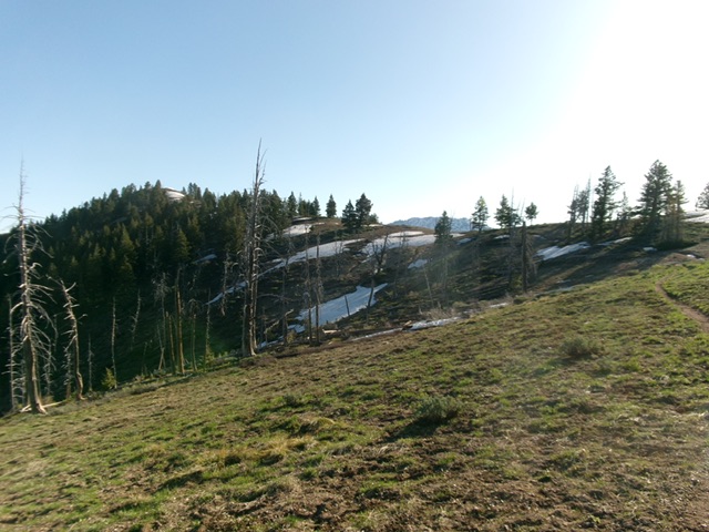
Heading up the south ridge of Lava Mountain. The summit hump is not yet visible. Livingston Douglas Photo
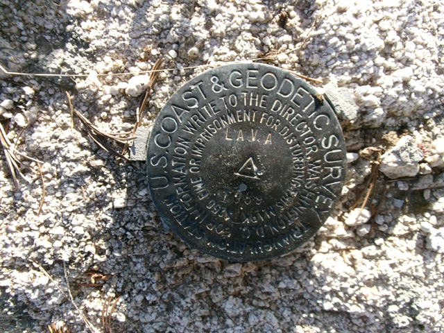
The USGS benchmark atop Lava Mountain. Livingston Douglas Photo
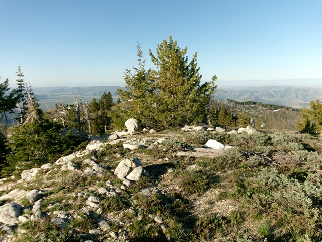
The summit of Lava Mountain. Livingston Douglas Photo

Lava Mountain viewed from Peak 6117.
Additional Resources
Regions: Boise Mountains->WESTERN IDAHO
Mountain Range: Boise Mountains
Year Climbed: 1990, 1992, 2001, 2004, 2005
Longitude: -115.5533 Latitude: 43.5831