Elevation: 4,924 ft
Prominence: 137
This peak is not in the book. Published October 2025
The Lewisville Knolls are a pair of handsome humps located near Lewisville, Idaho. They are most easily climbed from the west side, the only publicly-accessible access in this area of mostly private land. USGS Lewisville
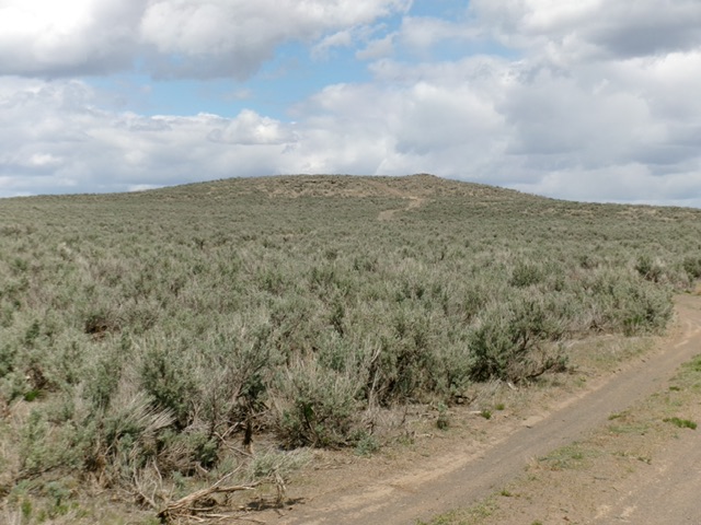
Lewisville Knolls North as viewed from the road junction (start of hike). Livingston Douglas Photo
Access
From Exit 320/Rigby on US-20, drive north briefly on BUS-20 to reach a signed junction with ID-48. Drive west on ID-48 to a sharp right/north bend. Drive a mile north to [signed] 400N. Drive west on 400N to reach [signed] 3400E/Lewisville Highway. Drive a mile north on 3400E to 500N. Go left/west onto 500N and drive two miles to [signed] 3200E. Drive south on 3200E (paved) for 1.8 miles to a signed junction with a BLM road. Turn left/east (then south) onto this rugged 2-track road and drive 100 yards to an unsigned junction.
Go left/east here and drive 0.4 miles to a fence row and an unsigned junction. Go left/north here and drive 0.2 miles to an unsigned junction and park (for Lewisville Knolls North) OR go right/south here and drive 100 yards to a pullout along a fence row (for Lewisville Knolls South). These BLM roads have some rocky spots and would be impossible to drive in wet conditions. None of these BLM 2-track roads show up on maps. Both of these hikes are entirely on BLM land, avoiding the private land that surrounds these two peaks.
Map Errors
Road maps and the USGS topo map incorrectly show a road that connects E400N and 3300E, but those two roads are dead-end roads that terminate on private property. They do not connect. The only public access to Lewisville Knolls is via 3200E on the west side (a paved road). The 2-track BLM roads that get you close to Lewisville Knolls are not shown on maps.
Southwest Face, Class 1
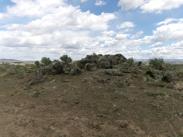
The summit boulders atop Lewisville Knolls North. Livingston Douglas Photo
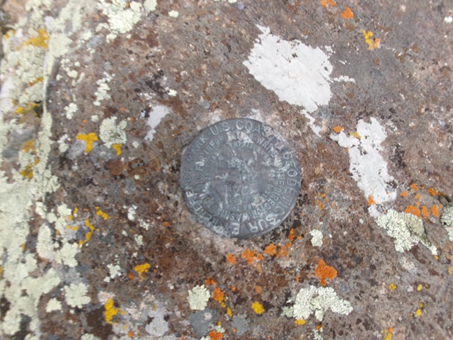
The USGS benchmark atop Lewisville Knolls North. Livingston Douglas Photo
From the unsigned road junction (4,785 feet; 43°40’46.4”N, 112°03’03.4”W), hike north then northeast up the 2-track BLM road to the summit area. The high point is a collection of large boulders.
Additional Resources