Elevation: 5,858 ft
Prominence: 68
This butte is not in the book. Published October 2025
Little Grassy Hill is a minor hump that is located between Deadwood Creek and Camas Slough in an area just north of the Rogerson-Jarbidge Highway. USGS Grassy Hills
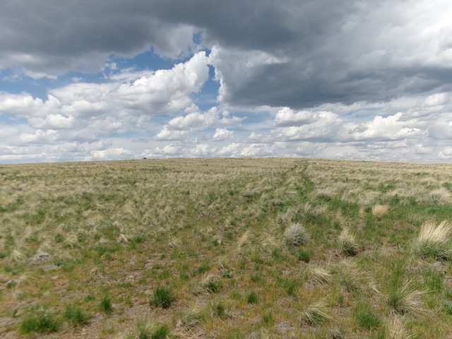
Little Grassy Hill as viewed from the cattle gate (start of climb). Livingston Douglas Photo
Access
From the Rogerson-Jarbidge Highway at a gravel pit (shown on maps)—at about 115°03’45”W—drive up Little Grassy Hill Road (unsigned). Bear left at two early junctions which lead to the nearby gravel pit. This weak-ish 2-track road heads north then northwest then north then northwest again (ignore any minor side tracks) to reach a final junction and a cattle gate, after which the 2-track road becomes quite primitive. Park at this cattle gate [5,790 feet; 42°08’22.6”N and 115°05’14.8”W]. Do NOT attempt to drive this final 2-track road in wet conditions.
Map Errors
The USGS topo map has several spurious roads shown on it that no longer exist. Do not trust the USGS map for accurate driving directions.
Southeast Face, Class 2
The Climb
From the cattle gate, hike up the weak 2-track road (shown on maps). Leave it high up to bushwhack left/west to the semi-open summit area. I could not find a benchmark or a summit cairn but it clearly was the high point. I did find a piece of wiring and built a small summit cairn on the boulders there.
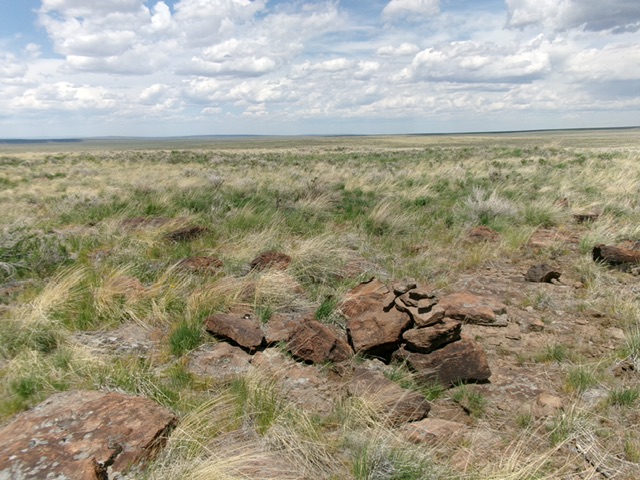
The summit of Little Grassy Hill with its newly-built summit cairn. Livingston Douglas Photo
Additional Resources