Elevation: 5,406 ft
Prominence: 71
This butte is not in the book. Published October 2025
Lone Butte is a minor hump with two rocky outcrops as potential high points. It can easily be reached from I-15 north of Idaho Falls and south of the ID/MT state line. USGS Lone Butte
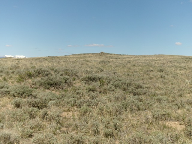
Lone Butte (dead center) as viewed from the southeast. Livingston Douglas Photo
Access
From Exit 172 on I-15, cross to the west side of I-15 on an overpass and reset your odometer. This road is signed as Sheep Station Road. Drive west on Sheep Station Road (paved) to reach a “T” junction at 1.0 miles. Go left/southwest on an unsigned paved road. At 2.1 miles, reach another “T” junction. Go right/west here onto a weak-ish (but drivable) 2-track that skirts the left side of a fence row and posted, private land. Reset your odometer here. At 2.1 miles (on this 2-track road), reach an unsigned junction on a ridge crossing. Turn right/north here and drive 0.1 miles to the summit area. This spur road is a bit steeper with one or two rocky patches to navigate. Park here.
South Face, Class 1
The Climb
This butte is a drive-up except for a minor scramble to each of the potential high points. From the top of the spur road, scramble briefly (for one minute) to the southeast summit, a collection of boulders. Continue northwest for about 100 yards to a dual set of boulders, which is the northwest summit, only a 2-minute scramble from the southeast summit. The first set of these boulders is the high point of the northwest summit. Contrary to LOJ, the northwest summit seems to be slightly higher than the southeast summit.
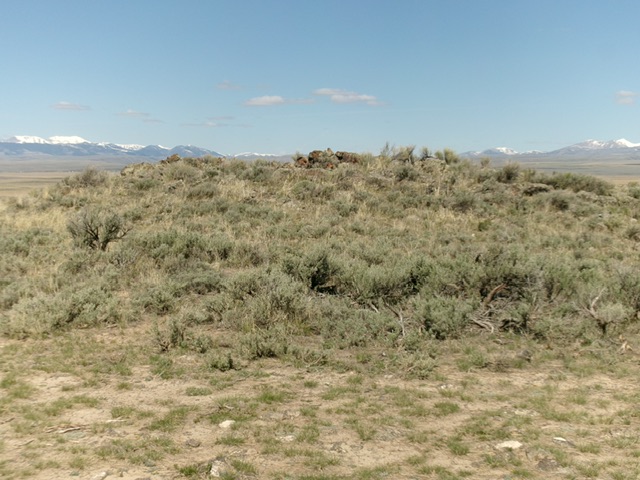
The rocky northwest summit of Lone Butte. Livingston Douglas Photo
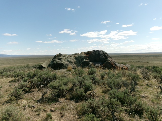
The summit block atop the measured southeast summit of Lone Butte. Livingston Douglas Photo
Additional Resources