Elevation: 4,330 ft
Prominence: 40
This butte is not in the book. Published October 2025
Massacre Rocks is a handsome, rocky set of outcrops located along I-86 and just south of Massacre Rocks State Park. The summit area is easily accessible from a side road on the southeast side of I-86. While LOJ shows Massacre Rocks on private land, it seems to be readily accessible to the public via a cattle gate on its east side. There is no signage to prohibit entry. USGS Neeley
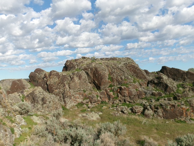
The blocky official/west summit of Massacre Rocks. Livingston Douglas Photo
Access
From Exit 28 on I-86, drive about 0.2 miles southeast to find a gravel spur road (not shown on the LOJ map) signed as Stock Trail Road. Drive 0.3 miles northeast on Stock Trail Road and park alongside the road at a cattle gate [4,265 feet; 42°40’18”N, 112°59’11”W].
East Tower, Class 4
The Climb
From the cattle gate (easily opened), scramble west through field grass and scrub to reach a middle area between the east towers and the gentler west ridge area. Scramble up onto the exposed, highest east tower (Class 4). Contrary to LOJ’s placement on the west ridge, I believe that the highest east tower is the high point of Massacre Rocks.
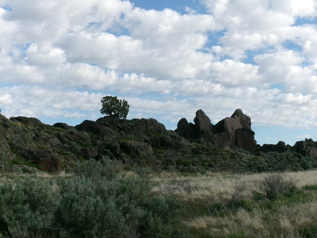
Massacre Rocks as viewed from the southwest. Livingston Douglas Photo
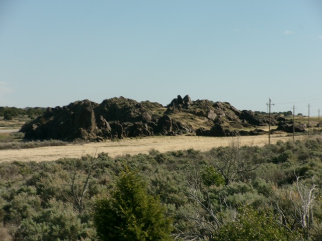
Massacre Rocks as viewed from the road to its southeast. The east tower is at far right and is the actual high point of Massacre Rocks. Livingston Douglas Photo
West Ridge/Block, Class 3
The Climb
From the east tower, return to the middle area then scramble up onto the west ridge/block to its high point. This is a much easier task than climbing the east tower.
Additional Resources