Elevation: 6,934 ft
Prominence: 354
This peak is not in the book. Published October 2025
Mill Benchmark is a Lemhi foothill that separates Baker Creek from Mulkey Creek. Given the mix of private and public land in this area, this peak is best climbed from Withington Creek Road and its southwest ridge. USGS Sal Mountain
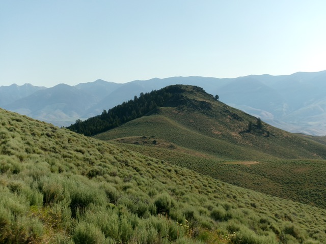
Mill Benchmark as viewed from the southwest. Livingston Douglas Photo
Access
Same as for Peak 7100. This is the second leg of a 2-peak adventure that includes Peak 7100 and Mill Benchmark (6,934 feet). It covers 5.5 miles with 2,450 feet of elevation gain round trip.
Southwest Ridge, Class 2
The Climb
From the 6,580-foot connecting saddle with Peak 7100, head northeast over a bare hump then descend 20 feet to a minor saddle. Continue scrambling northeast up a rougher ridge section of thick-ish scrub, rocky outcrops, and mountain mahogany. Skirt the right/southeast side of most of the rocky outcrops. Stay in open scrub when possible. The underlying terrain is still rocky and tedious here, even in the open scrub.
After a 15-foot drop from a final rocky hump, scramble northeast then left-ish/north in sagebrush to reach the open, well-cairned high point of Mill Benchmark. I found no USGS benchmark so it is probably buried underneath the large summit cairn. From the summit, return southwest to the connecting saddle. From there, begin contouring upward past several ridge humps and aim toward a ridge saddle just right/west of the thickly-forested north face of Point 7040+. Find the remnants of an old 2-track and follow it up to the saddle in the final push.
Once on the ridge saddle, contour below the southwest side of Point 7040+ to reach a grassy shoulder that heads southeast down to the road junction. Leave the shoulder at about 5,800 feet before it become too rocky and/or steep to descend. Drop right-ish/south directly to the weak 2-track road on steep, loose scree/gravel and field grass. Once across Withington Creek, scramble 15 feet or so up to the 2-track road and pop out just above the open cattle gate. Follow the road briefly downstream to its junction with FSR-031. Walk a short distance east down FSR-031 to the campsite and your parked vehicle.
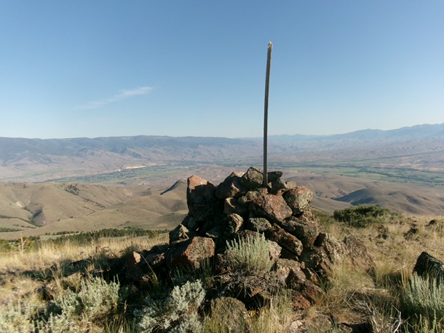
The large cairn and post atop Mill Benchmark with the town of Salmon in the distance. Livingston Douglas Photo
Additional Resources
Regions: EASTERN IDAHO->Lemhi Range
Mountain Range: Lemhi Range
Longitude: -113.7975 Latitude: 45.0662