Elevation: 5,025 ft
Prominence: 80

This butte is not in the book. Published October 2025
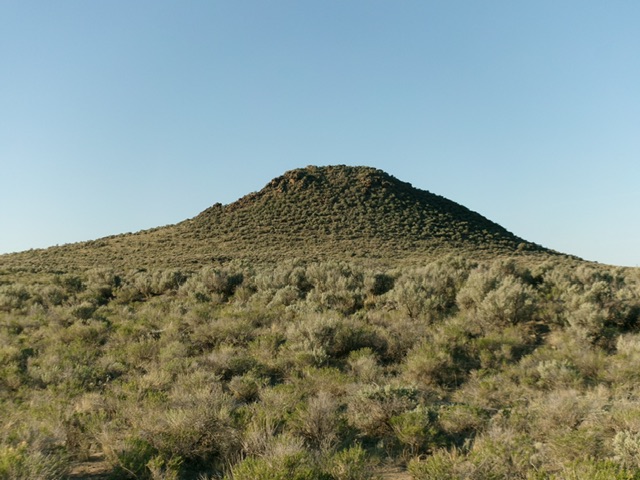
Needle Butte is a handsome hump that is easily approached via a BLM 2-track road. It requires only a seven-minute scramble to reach the rocky summit. USGS Mud Lake NW
Access
Same as for Table Butte (5,235 feet). The underpass road is signed as 2700N (which turns south and becomes the Camas-Monteview Road). Drive south then west on the Camas-Monteview Road for 6.7 miles to an unsigned junction with a 2-track road (shown as Jefferson Road on maps). This 2-track road heads left-southwest. Reset your odometer at this junction. At 2.2 miles, go right at Junction 4908. At 2.5 miles, go right at an unsigned junction and cattle gate. At 2.7 miles, park along the road [4,910 feet; 43°59’06”N, 112°23’27”W]. This junction is just north of the [obvious] Needle Butte.
Map Errors
The USGS map erroneously shows the Camas-Monteview Road as a straight east-west road. That is not the case. The road to the north of this erroneous road is the actual Camas-MonteviewRoad.
Northeast Ridge, Class 2+
The Climb
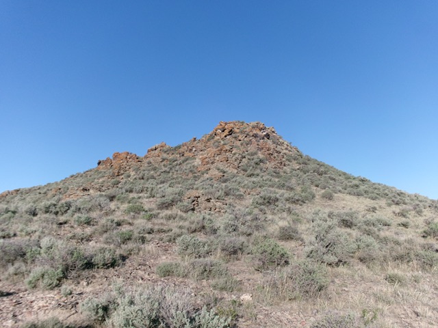
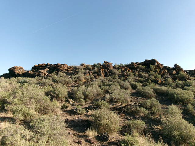
From the improvised roadside pullout, bushwhack south toward the obvious, rocky butte through reasonable grass and sagebrush. Angle left/southeast to avoid very steep boulders on the north face. Reach the rocky northeast ridge and scramble up a mix of large, steep boulders and scrub to the easy summit boulders. There is no brush on the summit.
East Face, Class 2
The Descent
From the summit, descend south to a saddle area then east down through easy grass and sagebrush to avoid any boulders. Angle left/north (then northwest) to quickly return to the improvised roadside pullout.
Additional Resources


