Elevation: 3,607 ft
Prominence: 117
This butte is not in the book. Published October 2025
Notch Butte is aptly named. The southeast summit is the high point. Yes, there is an impressive notch that separates the southeast summit from the [lower] northwest summit. USGS Notch Butte
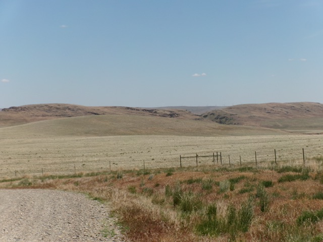
Notch Butte as viewed from the southwest. The infamous notch is just right of center. The summit hump is well right of center. Livingston Douglas Photo
Access
Crows Nest Road (a well-maintained BLM road) can be reached from the south via Balanced Rock Road (see Access for Balanced Rock and Castleford Butte for more details) or from the north via its junction with South Grindstone Road a few miles southeast of Twin Buttes, East and Twin Buttes, West (see Access for these peaks for more details on Grindstone Butte Road/South Grindstone Road).
From the southeast side of Twin Buttes, drive southwest on Crows Nest Road to reach Notch Butte and The Big Hill. Follow Crows Nest Road up to a crossing of the northwest side of Notch Butte. There is a junction with a 2-track road here. Reset your odometer here. Drive south on this weak 2-track road and immediately go through a wire cattle gate. At about 0.5 miles, the 2-track bends left/east.
At 0.8 miles, reach an unsigned junction. Go straight/east onto a weaker 2-track road. At 1.2 miles, park on a minor bluff at the base of the northwest ridge at the notch/gully that separates the northwest summit from the [higher] southeast summit. This parking spot is at 3,264 feet and 42°40’10.9”N, 115°11’06.9”W.
Map Errors
The USGS topo map shows several jeep roads in this area that no longer exist. Don’t trust the map.
Northwest Ridge, Class 2
The Climb
From the parking spot, descend east to cross the narrow gully in an area that is devoid of thick tumbleweeds. Follow a cattle trail left/north briefly to reach the toe of the northwest ridge. Scramble east up the steep-ish ridge crest in gravel, scrub, and a few rocky outcrops. Once up on the high ridge, head southeast in easy field grass to reach the cairned summit after passing over a false summit hump.
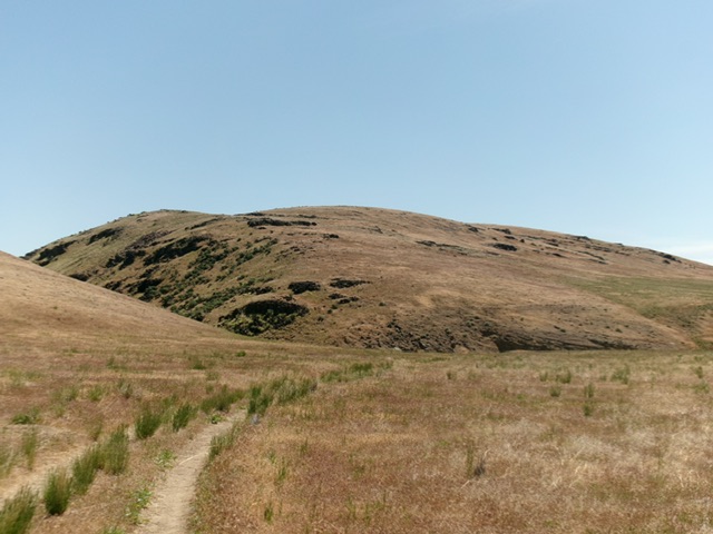
Notch Butte as viewed from the base of the northwest ridge (start of climb). The notch is the large gully left of center. The summit hump is dead ahead. Livingston Douglas Photo
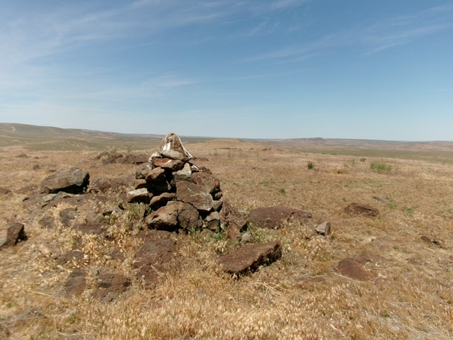
The large cairn atop Notch Butte with the [lower] northwest summit in the distance. Livingston Douglas Photo
Additional Resources