Elevation: 10,347 ft
Prominence: 322
This peak is not in the book. Elevation and prominence figures are based on recent LiDAR updates. The USGS quad shows an elevation of 10,331 feet. Published January 2026
This peak is located on the Boulder Mountains Front northwest of Rock Roll Peak. It towers over Lake Creek which drains its southwest face. USGS Rock Roll Canyon
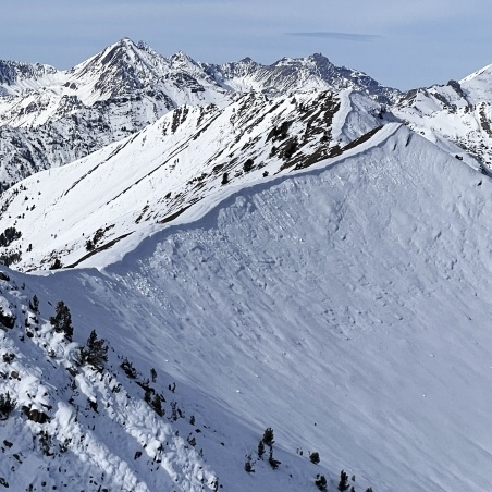
Divide Peak in the foreground. Derek Percoski Photo
Access
Divide Peak can be approached from Eagle Creek, Lake Creek, or Park
Creek/Trail Creek headwaters. The result will be the same: a short, steep
hike. Drive out Lake Creek Road. Any car can make it to the lake at 6600′. From
there the road gets more rugged, but a medium clearance vehicle could
continue. Most will want to park at the obvious back of the basin at 7000′,
but if you’re up for a narrow, exposed 4×4 road you can make it up to 7600′.
Southwest Rib, Class 2
All the ribs in this area make for easy class-2 hiking, but the southwest
rib is the obvious choice for going from the end of the road directly to the
summit.
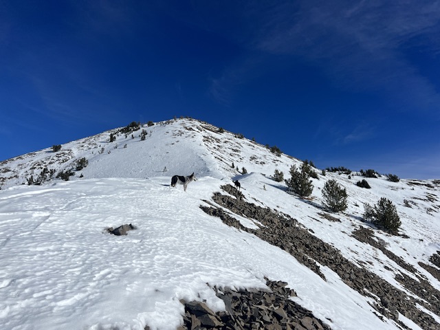
Looking up the southwest rib. Derek Percoski Photo
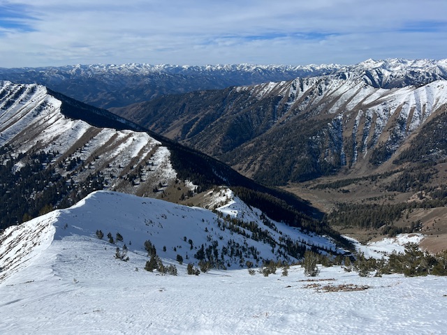
Looking down the southwest rib. Derek Percoski Photo
Additional Resources
Regions: Boulder Mountains->EASTERN IDAHO
Mountain Range: Boulder Mountains
Longitude: -114.31247 Latitude: 43.81517