Elevation: 10,474 ft
Prominence: 301
This peak is not in the book. The elevation and prominence figures are based on recent LiDAR updates. The USGS quad shows an elevation of 10,472 feet. Published November 2025
This peak sits west of the main Lemhi Crest on a subsidiary ridge that runs from Basin Peak in the north to Inyo Benchmark in the south. Little Inyo sits between these two peaks. USGS Yellow Peak
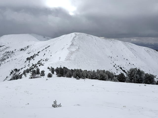
Peak 10474 (Little Inyo). Derek Percoski Photo
Access and Routes by Derek Percoski
This peak can easily be combined with an ascent of Inyo Benchmark or Basin Peak (or both) via class-2 connections. The most direct access is from Patterson Creek Road, however there are no bridges across the creek and even crossing in the fall without getting your feet wet is a challenge. There’s a tree across Patterson Creek at 6,500 feet where East Fork Patterson Creek branches off. This is also the point where the 4×4 road turns into more of an ATV trail, despite being designated for full-size vehicles.
Additional Resources
Regions: EASTERN IDAHO->Lemhi Range
Mountain Range: Lemhi Range
Longitude: -113.62134 Latitude: 44.52789