Elevation: 3,598 ft
Prominence: 328
This peak is not in the book. Published October 2025
Peak 3598 is a ranked summit that sits above Sailor Creek just west of Deadhorse Crossing. It is located due south of Grindstone Butte and is most easily reached from Grindstone Butte Road and 2-track roads that emanate from it. USGS Black Butte East
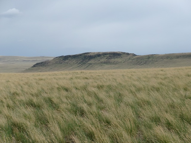
Peak 3598 as viewed from the northeast. Livingston Douglas Photo
Access
Same as for Grindstone Butte. Drive another 1.3 miles southeast on Grindstone Butte Road/South Grindstone Road to an unsigned junction with a 2-track road heading right/south [3,368 feet; 42°45’01.2”N, 115°15’01.6”W]. Drive south on this 2-track road (not too bad) for 0.9 miles to a weak, unsigned road junction. Go right/west here and drive another 0.5 miles to a grassy pullout. Park here [3,250 feet; 42°44’17.0”N, 115°15’34.6W].
Map Errors
The USGS topo map fails to show the final spur road that heads west up to the north side of Peak 3598.
Northeast Face/Northwest Ridge, Class 2
The Climb
From the grassy pullout on the spur road, head south directly at the saddle between Point 3546 (the northwest summit hump) and the true/southeast summit hump. Bushwhack across several gullies in easy field grass then scramble south (diagonally right) up and across the northeast face to skirt Point 3546 and reach a ridge saddle. The northeast face is steep but easy field grass.
Once at the saddle, skirt the left/northeast side of a rocky ridge section and look for a grassy ramp/chute (of sorts) just right of more ridge rock. Scramble up easy field grass southeast to reach the summit area. The high point is at the far southeast end of the ridge. I built a nice cairn atop the summit boulders.

The steep northeast face of Peak 3598 as viewed from the valley floor. This was my ascent route. Livingston Douglas Photo
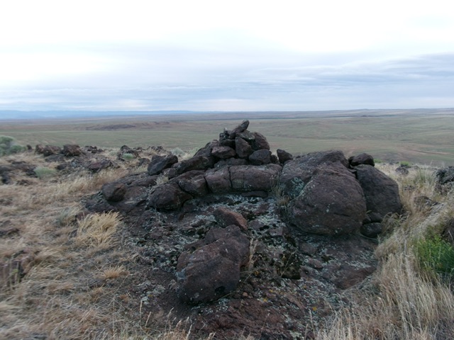
The summit boulders and cairn atop Peak 3598. Livingston Douglas Photo
Additional Resources