Elevation: 5,577 ft
Prominence: 397
This peak is not in the book. Published October 2025
Peak 5577 and its neighbor Peak 5605 are located northwest of Carey, Idaho in the foothills of the Pioneer Mountains. This area is a mix of private and public land, so be careful. This multi-peak climb is almost entirely on BLM land. USGS Picabo
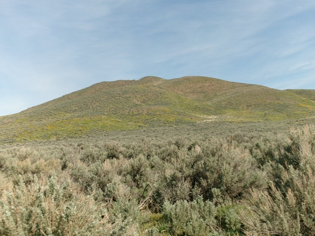
Peak 5577 as viewed from Dry Creek Road to its southeast. Livingston Douglas Photo
Access
Same as for Peak 5605. This is the second leg of a 2-peak adventure that includes Peak 5605 and Peak 5577. It covers 3.0 miles with 1,275 feet of elevation gain round trip.
Southeast Ridge, Class 2
The Climb
From the 5,180-foot connecting saddle with Peak 5605, head west then northwest to reach a second, slightly higher saddle. There are several humps to cross along the way in easy, short grass and scrub. This leg of today’s journey crosses a short patch of unposted, unfenced private land. From that higher saddle, skirt the right side of a ridge block and scramble northwest then west to reach the summit of Peak 5577. The rock-and-scrub high ridge is a bit tedious to navigate. The east (first) summit hump is five feet higher than the west summit hump. It has a small cairn atop it. I investigated the west summit and descended the peak from there.
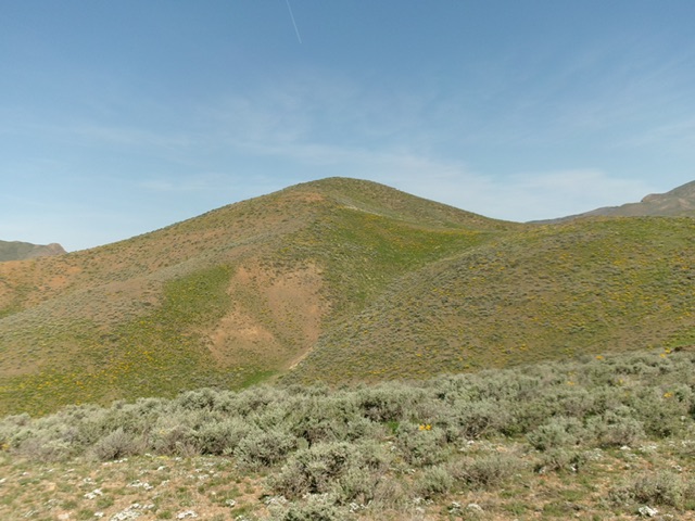
Peak 5577 as viewed from midway up the southeast ridge. This was my ascent route. Livingston Douglas Photo
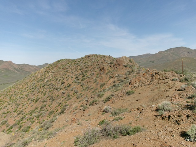
The summit of Peak 5577. Livingston Douglas Photo
South Shoulder, Class 2
The Descent
From the [lower] west summit hump, return southeast to a beautiful juncture with the south shoulder. This shoulder stays entirely on public land and leads directly south to the spot where I parked along Dry Creek Road. The terrain on the south shoulder is short scrub with some loose underlying scree. As you approach the valley floor (and Dry Creek Road), head left/southeast through tall, thick (but gapped) sagebrush to reach the open cattle gate and nearby Dry Creek Road.
Additional Resources
Regions: EASTERN IDAHO->Pioneer Mountains
Mountain Range: Pioneer Mountains
Longitude: -114.0147 Latitude: 43.3440