Elevation: 5,842 ft
Prominence: 36
This peak is not in the book. Elevation and prominence figures are based on recent LiDAR updates. The USGS quad shows an elevation of 5,860 feet. The change in elevation moved the summit of Howard Mountain to an adjacent point. As of this date, peakbagger.com still shows this point as the summit of Howard Mountain. Published March 2026
Peak 5842 is the unranked hump just north of the high point of Howard Mountain (5,846 feet), which is the northernmost ranked summit in the Bannock Range. It is located west of Pocatello on a long north-to-south ridgeline that comes up from Kinport Peak. Like its neighbor to the south, Peak 5842 and Howard Mountain are clad with several antenna installations. It is a short, easy scramble from Trail Creek Road. USGS Michaud Creek
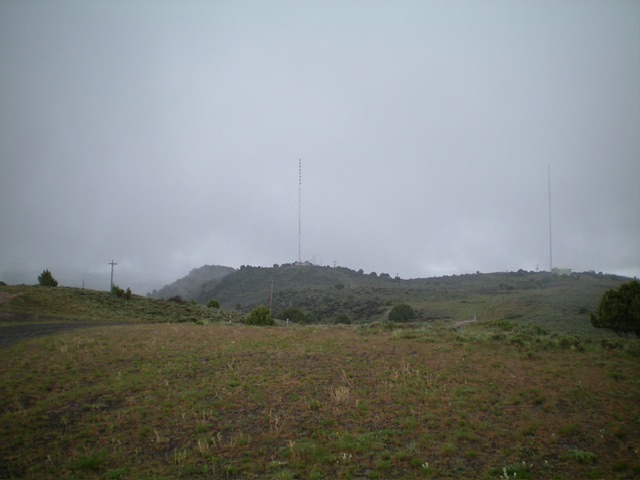
Peak 5842 and Howard Mountain (5,846 feet) as viewed from the northeast. The leftmost of the two antennas is Peak 5842. Livingston Douglas Photo
Access
From the junction of Foothills Boulevard and Trail Creek Road in Pocatello, drive west on Trail Creek Road (signed) for 2.6 miles to reach the ridge crest and an unsigned junction. Turn right/north and drive 0.2 mile on a service road to reach a large, flat parking area that is on public land. The elevation here is 5,450 feet.
South Ridge, Class 2
The Climb
From the parking area, scramble north-northwest then north to the top of Point 5841 (which is now the official high point of Howard Mountain at 5,846 feet). The terrain here is steep field grass. The summit is a rocky point with some field grass and brush mixed in. Continue north on the narrow ridge for a short distance to bag nearby Peak 5842. There is a simple antenna facility and shack atop Peak 5842. These are two of the EASIEST summits in the State of Idaho. The antenna facility atop the [lower] Northeast Summit is far more impressive. You might actually find cattle grazing up here on a plateau between the Peak 5842 and the Northeast Summit. Welcome to Idaho: Land of the Free and Home of the Cattle.
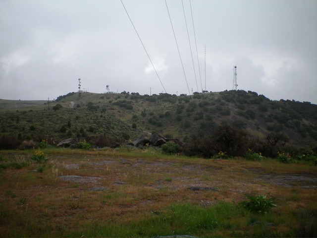
View of the [lower], antenna-clad northeast summit from Peak 5842. Livingston Douglas Photo
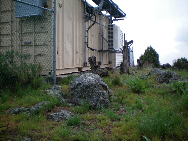
The summit boulder and antenna shack atop Peak 5842. Livingston Douglas Photo
Northeast Face, Class 1
Access
Same as for the South Ridge Route
The Descent
From the summit of Howard Mountain, descend slightly north then northeast. From there, follow a service road east to reach the antenna installations on the east side of the mountain. Make a cell phone call or two with the towers nearby then descend the service road (which cuts between Peak 5842 and the northeast summit) back to your parked vehicle.
Additional Resources
Regions: Bannock Range->SOUTHERN IDAHO
Mountain Range: Bannock Range
Longitude: -112.51842 Latitude: 42.86275