Elevation: 6,203 ft
Prominence: 343
This peak is not in the book. Published October 2025
Peak 6203 sits above the convergence of the Bull Canyon and South Fork drainages in the foothills of the Deep Creek Mountains. This area is a mix of private and public land, so be careful. This climb is entirely on BLM land. USGS Cedarhill
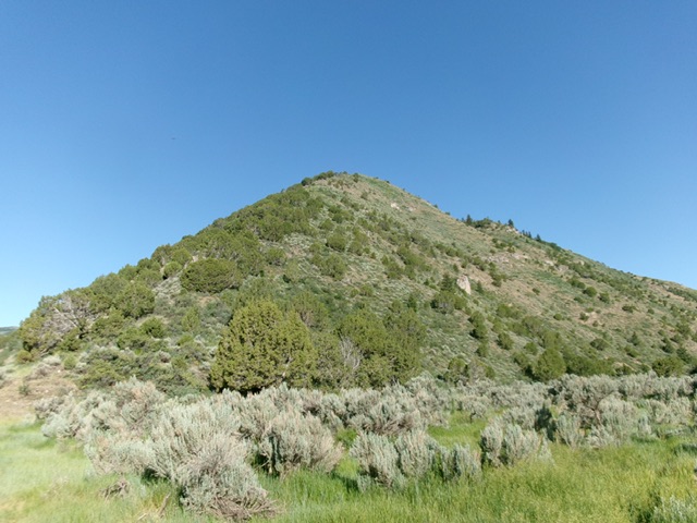
Peak 6203 as viewed from the BLM road junction in Bull Canyon. The east ridge is in dead center. This was my ascent route. Livingston Douglas Photo
Access
From Arbon Valley Road, turn west onto [signed] Bull Canyon Road. Drive 4.4 miles west up Bull Canyon Road to a signed BLM road junction in Bull Canyon. Park at this junction [5,492 feet; 42°21’34.6”N, 112°39’39.0”W]. Alternatively, drive up [signed] county road 18500 from farther south on Arbon Valley Road to a junction with Bull Canyon Road and proceed west on Bull Canyon Road from there. This route has better road quality than coming directly in on Bull Canyon Road from the east.
East Ridge, Class 2
The Climb
From the roadside pullout at the BLM road junction, walk a short distance southwest on BLM-653 to reach the toe of the east ridge. Leave the road and scramble up the center of the narrow ridge crest in a mix of junipers, scrub (sometimes thick), and underlying loose talus/scree in many sections. Use game trails and lanes as available. The small summit is open and has a summit cairn. The summit provides nice views in all directions. The biggest headache in this climb is the thick scrub and, secondly, working around the many junipers.
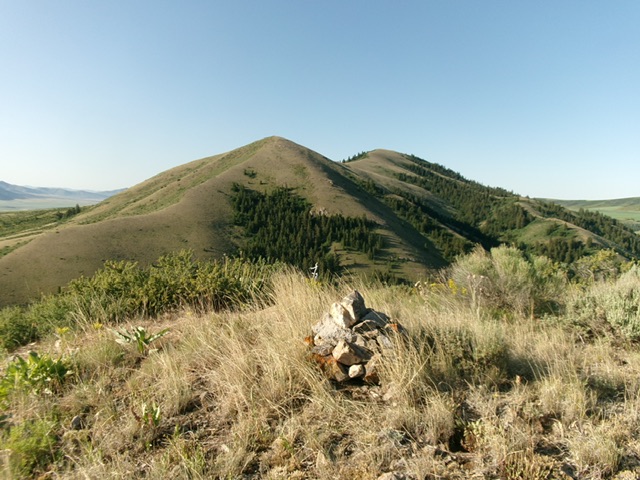
The summit cairn atop Peak 6203 with the north ridge of Peak 6987 in the distance. Livingston Douglas Photo
Additional Resources
Regions: Deep Creek Mountains->SOUTHERN IDAHO
Mountain Range: Deep Creek Mountains
Longitude: -112.6676 Latitude: 42.3606