Elevation: 6,207 ft
Prominence: 427

This peak is not in the book. Published October 2025
Peak 6207 sits atop a ridgeline that separates Rock Creek to the west from Deep Creek to the east. This area is a mix of private and public land, so be careful. This climb is entirely on BLM land. USGS Cedarhill
Peak 6207 as viewed from the north. Aim to ascend the open terrain left of center. Livingston Douglas Photo
Access
From ID-37 about 3.7 miles northwest of Holbrook, turn right/north onto county road 23300W. Drive about three miles north to a signed junction. Go straight onto BLM-653/South Bull Canyon Road. Continue north another mile to a signed junction with BLM-654. Turn right onto BLM-654 and drive 1.3 miles east up over a saddle and down to a roadside pullout on the west side of a cattle guard/fence. Park here [5,498 feet; 42°16’00.1”N, 112°39’58.5”W].
North Face, Class 2
The Climb
From the roadside pullout, hike west up a bare gully until thick scrub takes over. Follow a good cattle trail west for a short distance then bushwhack left/south (or southwest) up through thick scrub to reach open terrain on a rounded shoulder at about 5,725 feet. Stay to the right/west in short scrub and cruise to the open summit. The summit has a nice cairn. The high point is the northeast summit, not the slightly lower southwest summit hump.
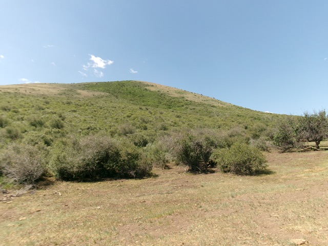
Peak 6207 as viewed from the valley floor (very early in the climb). Livingston Douglas Photo
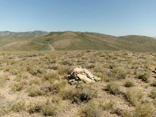
The summit cairn atop Peak 6207. Livingston Douglas Photo
Additional Resources
Regions: Deep Creek Mountains->SOUTHERN IDAHO
Mountain Range: Deep Creek Mountains
Longitude: -112.6723 Latitude: 42.2625