Elevation: 6,423 ft
Prominence: 318
This peak is not in the book. The elevation and prominence figures are based on recent LiDAR updates. The USGS quad shows an elevation of 6,408 feet. Published October 2025
Peak 6423 is a scrub hump that separates Pete Lish Canyon from Left Fork East Fork Canyon in the foothills of the Deep Creek Mountains east of Rockland. It is most easily climbed from the Left Fork East Fork Canyon jeep/ATV trail. USGS Bannock Peak
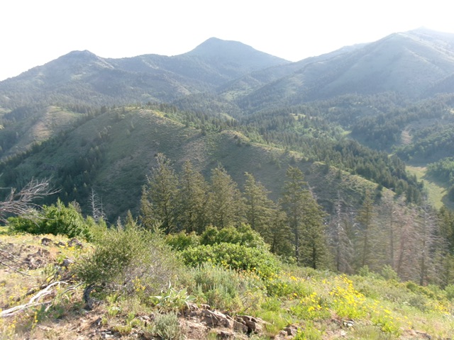
Peak 6423 (in mid-ground). The summit is left of center. The south ridge descends diagonally right. This was my descent route. Livingston Douglas Photo
Access
From ID-37 in Rockland, drive east on [signed] Center Street (which is signed for “East Fork Road 5 Miles”). Center Street turns left/north at about 1.5 miles and, after another 0.3 miles, turns right/east at a signed junction with East Bench Road. The road is paved for the first 3.6 miles. It becomes a good gravel road for the next 2.2 miles. The final 1.3 miles to an unsigned road junction in an open meadow is a narrow, rocky, 2-track road.
The open meadow is at a fork in East Fork Canyon. To the left is the Left Fork of the canyon; to the right is the East Fork. This junction/fork is at 5,420 feet. This is the first leg of a 2-peak adventure that includes Peak 6423 and Peak 6482. It covers 4.5miles with 1,775 feet of elevation gain round trip.
Southwest Ridge, Class 2+
The Climb
From the road junction, hike northeast up the Left Fork jeep trail to a signed BLM road junction (BLM-954 and BLM-928). Leave the road here and bushwhack up steep, loose gravel and scrub of the southwest ridge. The scrub/veg on the ridge is generally thick but has gaps and is generally easier as slope eases higher up. There are still some thick-ish patches of veg/brush but, overall, it’s not too bad. The ridge bends left/north high up for a final thick-ish veg bash to the open summit. The summit had a modest cairn, which I built up a bit.
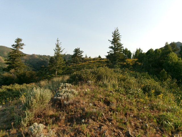
The summit hump of Peak 6423 as viewed from high on the south ridge. Livingston Douglas Photo
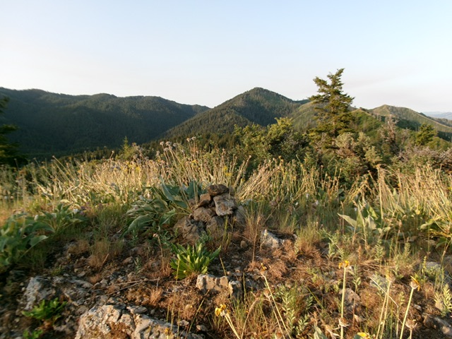
The small summit of Peak 6423. Livingston Douglas Photo
South Ridge, Class 2+
The Descent
From the summit, descend the rounded south ridge in thick-ish scrub. The ridge bends left-ish/south-southeast. The final right-ish/southwest drop to the Left Fork East Fork Road is steep and places you just west of a large pond that the road passes by (and cattle congregate around). The road crossing concludes the first leg of today’s 2-peak journey. Peak 6482 is up next.
Additional Resources
Regions: Deep Creek Mountains->SOUTHERN IDAHO
Mountain Range: Deep Creek Mountains
Longitude: -112.73498 Latitude: 42.57832