Elevation: 6,760 ft
Prominence: 320
This peak is not in the book. The elevation and prominence figures are based on recent LiDAR updates. The USGS quad shows an elevation of 6,763 feet. Published October 2025
Peak 6760 is a foothill of the Pleasantview Hills that has communication towers on its northeast summit. The southwest summit hump is the high point. The only public access is from the south on a concoction of BLM roads. USGS Buist
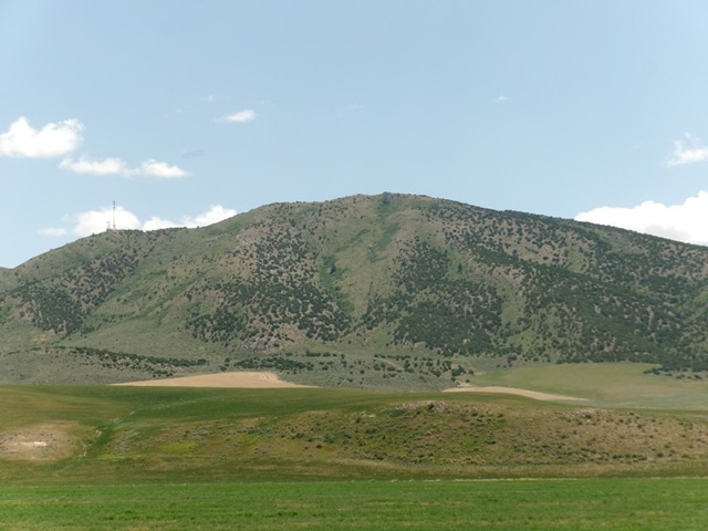
Peak 6760 as viewed from Arbon Valley Road to its west. Livingston Douglas Photo
Access
Same as for Peak 7220. From Sheep Creek Spring Road, head north on BLM roads that go past Taylor Spring and reach Junction 6450, which sits between Peak 6760 and Peak 7140. Access from the north is blocked by posted private ranch land.
East Ridge, Class 2
The Climb
From Junction 6450 on the connecting saddle between Peak 6760 and Peak 7140, hike west then northwest up BLM-132 to just below the communication towers. Angle left/southwest and climb up over a rocky outcrop then descend west to a minor saddle (55-foot drop). Follow the narrow, rock-and-scrub ridge to quickly reach the cairned summit on the southwest summit hump.
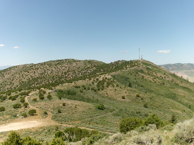
Peak 6760 as viewed from the east. Livingston Douglas Photo
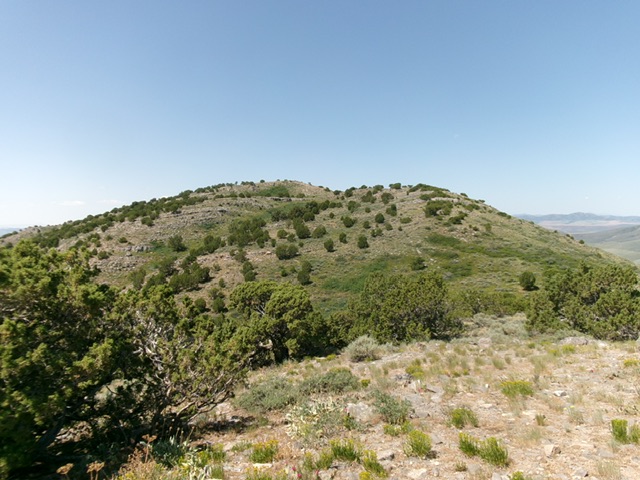
Peak 6760 (summit hump is just right of center) as viewed from the antenna-clad northeast summit. This was my ascent route. Livingston Douglas Photo
Additional Resources
Regions: Pleasantview Hills->SOUTHERN IDAHO
Mountain Range: Pleasantview Hills
Longitude: -112.57725 Latitude: 42.27603