Elevation: 6,804 ft
Prominence: 309
This peak is not in the book. The elevation and prominence figures are based on recent LiDAR updates. The USGS quad shows an elevation of 6,807 feet. Published October 2025
Peak 6804 separates Harwood Canyon from Hillhouse Canyon in the Deep Creek Mountains. Access to this area is from Sagehen Springs Road (public) but continues on a 2-track road across private land to reach BLM land. It seems that public access is allowed on this road. This climb is entirely on BLM land. USGS Cedarhill
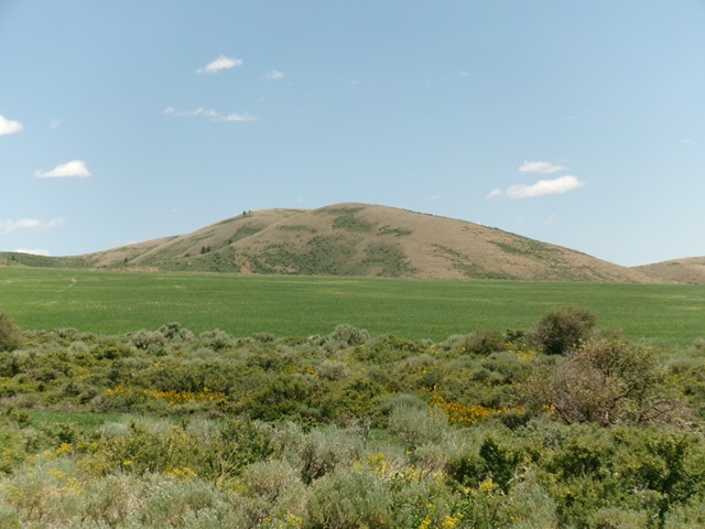
Peak 6804 as viewed from the west. Livingston Douglas Photo
Access
Same as for Buck Peak. Drive east on well-maintained Sagehen Springs Road. Go right/southeast at an unsigned junction. After about 2-1/2 miles, the road becomes a narrow 2-track road and crosses private land to reach BLM land in Hillhouse Canyon. The road reaches an unsigned junction in Hillhouse Canyon. Go right/south here and drive 100 yards to a large, rusty water tank. Park in a grassy pullout across the road from the water tank [5,936 feet; 42°19’57.7”N, 112°44’59.6”W]. This is BLM land.
West Ridge, Class 2
The Climb
From the roadside pullout, bushwhack southeast through thick scrub (with gaps) to quickly reach short grass/scrub. Scramble southeast up to the ridge crest then head left/east up to a false summit hump. Drop 65 vertical feet in thick-ish sagebrush and other scrub to a minor saddle. Continue east up easy, short scrub to the rocky summit hump and large summit cairn.
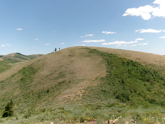
The elusive summit hump of Peak 6804. Livingston Douglas Photo
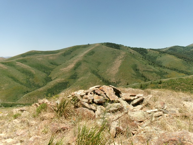
The large summit cairn atop Peak 6804. Livingston Douglas Photo
Additional Resources
Regions: Deep Creek Mountains->SOUTHERN IDAHO
Mountain Range: Deep Creek Mountains
Longitude: -112.73737 Latitude: 42.33233