Elevation: 6,809 ft
Prominence: 305
This peak is not in the book. The Peakbagger.com website calls this peak “Leaton Gulch Hill.” The elevation and prominence figures are based on recent LiDAR updates. Published October 2025
Peak 6809 sits due east of Challis Hot Springs and the Salmon River and is just west of Leaton Gulch in the foothills of the Pahsimeroi Mountains. USGS Challis
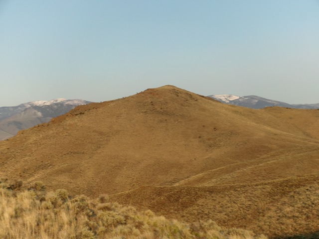
Peak 6809 as viewed from the northeast (start of climb). Livingston Douglas Photo
Access
Same as Peak 6060. From the signed junction of Hot Springs Road and Upper Hot Springs Road (2.6 miles from US-93), drive east on Upper Hot Springs Road to a road junction in 0.5 miles. Go left/north here and drive 0.1 mile to an unsigned junction with a 2-track dirt road heading right/east. This is Leaton Gulch Road/FSR-111. Reset your odometer here and drive up Leaton Gulch Road.
Go through an open cattle gate to begin your Leaton Gulch Road adventure. At 1.1 miles, reach a signed 4-way road junction with Pennal Gulch ATV Trail. Go straight to remain on Leaton Gulch Road. At 2.8 miles, reach an unsigned junction with a 2-track road heading left/northwest. This side road is steep but is in decent shape. You will need a 4WD to navigate it. Drive 0.4 miles up this 4WD 2-track road to reach an unsigned junction on a flat ridge area (Junction 6595 on maps). Park here [6,595 feet; 44°31’32.2”N, 114°06’57.3”W]. This junction is east-northeast of Peak 6809.
Northeast Face, Class 2
The Climb
From the road junction, hike west on a 2-track ATV trail as it drops about 100 vertical feet to cross a dry gully then rises 60 vertical feet to cross a shoulder. The trail then drops 30 feet to cross another minor gully then rises 55 feet to cross a final shoulder. Continue briefly west on the ATV trail as it drops into a final gully and turns right/north to climb that gully.
Leave the ATV trail in this gully and contour southwest in easy scrub to skirt Point 6636 and reach a saddle at the base of the northeast face at 6,500 feet. From this gentle, bare saddle, scramble southwest up a slope of easy scrub and some areas of scree/rock (to the left/east, which can be avoided) to reach the well-cairned, open summit.
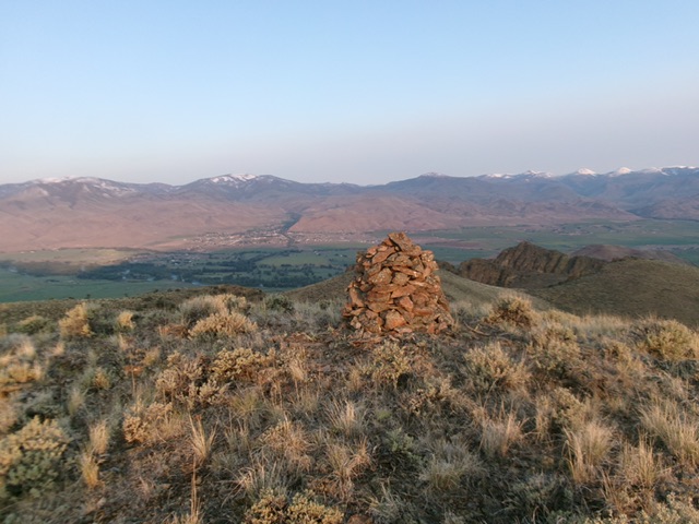
The large cairn atop Peak 6809 with the town of Challis in the distance. Livingston Douglas Photo
Additional Resources
Regions: EASTERN IDAHO->Lost River Range->Pahsimeroi Range
Mountain Range: Lost River Range
Longitude: -114.12845 Latitude: 44.52217