Elevation: 6,868 ft
Prominence: 355
This peak is not in the book. Elevation and prominence figures are based on recent LiDAR measurements. The USGS Quad shows an elevation of 6860. Published March 2026
Peak 6868 separates Heglar Canyon from Houtz Canyon in the Sublett Range. It also sits at the head of Dairy Canyon. Peak 6867 is most easily climbed from a 2-track road to its east from a high saddle. Thanks to recent LiDAR updates, Peak 6868 is now the ranked high point of the Peak 6864/Peak 6868 massif. USGS Badger Peak
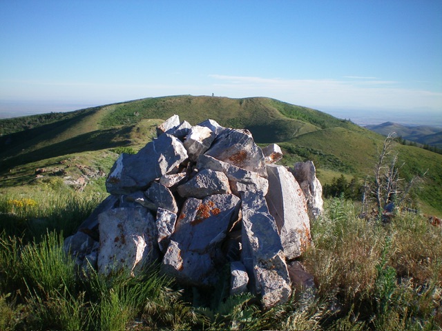
Peak 6868 as viewed from cairned Peak 6864 to its south. The open ridge traverse connects the two peaks and was my ascent route. Livingston Douglas Photo
Access
Same as for Peak 6864. This is the second leg of a 2-peak adventure that includes Peak 6864 (now unranked) and Peak 6868.
Ridge Traverse from Peak 6864, Class 2
The Climb
From the summit of Peak 6864, follow the ridge crest northward and descend 155 feet to a connecting saddle at about 6,710 feet. Continue northwest then west to the high point of Peak 6868. The summit hump is the western of two humps. There was no summit cairn but it measured five feet higher than Peak 6864 according to my altimeter. The ridge terrain is short grass with an on-and-off elk trail. It is about ½ mile from Peak 6864 to Peak 6868.
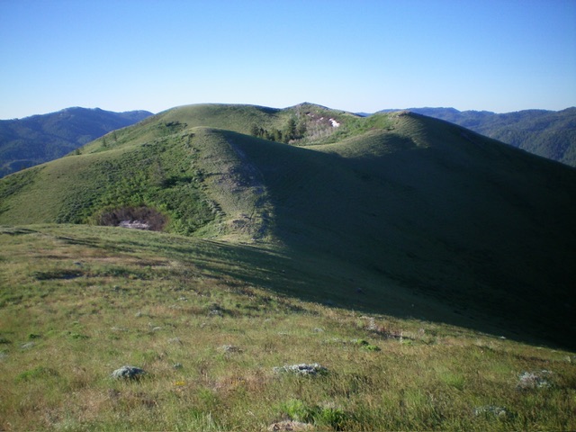
Looking south at Peak 6864 from the summit of Peak 6868. Livingston Douglas Photo
Additional Resources
Regions: SOUTHERN IDAHO->Sublett Range
Mountain Range: Sublett Range
Longitude: -113.03566 Latitude: 42.50096