Elevation: 6,936 ft
Prominence: 459
This peak is not in the book. The elevation and prominence figures are based on recent LiDAR updates as found on Peakbagger.com. The USGS quad shows an elevation of 6,931 feet. Published October 2025
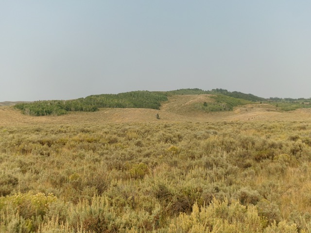
Dam Benchmark is located on a high ridgeline due west of the north end of the Blackfoot Reservoir. It is on posted, private ranch land and is closed to the public. This post is for informational purposes only. USGS Paradise Valley
Dam Benchmark as viewed from Government Dam Road to its east. Livingston Douglas Photo
Access
From Exit 116 (Sunnyside Road) on I-15 in Idaho Falls, drive east on Sunnyside Road to its end at a signed “T” junction with Bone Road. This junction is 9.1 miles east of Ammon Road. Turn right/south onto Bone Road and drive 8.5 miles south to a signed junction with Blackfoot Reservoir Road, 0.3 miles south of Bone. Turn right/west onto Blackfoot Reservoir Road. The road quickly bends left/south and begins its journey to Blackfoot Reservoir. Drive 15.6 miles on Blackfoot Reservoir Road to a signed junction with Cranes Flat Road at Four Corners.
Continue south for a few more miles to a signed junction at the northwest corner of Blackfoot Reservoir. Go right/west here onto Government Dam Road. Drive 2.2 miles southwest then south on Government Dam Road to an unsigned junction on a ridge crossing just before the road bends hard right/west and drops to cross the Blackfoot River. Park here [6,179 feet; 43°00’11.1”N, 111°43’39.3”W]. Dam Benchmark is located west-northwest from here. You can follow a 2-track BLM road to its crossing of the southeast ridge of Dam Benchmark and hike briefly up the ridge to the fenced, posted property line. Go no farther without securing permission from the landowner.
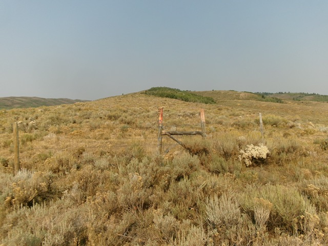
The orange paint, no trespassing signage, and cattle fencing on the lower southeast ridge. No public access beyond this point. Livingston Douglas Photo
Additional Resources
Regions: Blackfoot Mountains->SOUTHERN IDAHO
Mountain Range: Blackfoot Mountains
Longitude: -111.7754 Latitude: 43.0119