Elevation: 7,140 ft
Prominence: 400
This peak is not in the book. The name was suggested by Rick Baugher and mimics the name of the USGS quad on which it is found. Published October 2025
Peak 7140 sits above both Petit Spring and Taylor Spring in the Pleasantview Hills of southern Idaho. The only public access is from the south on a concoction of BLM roads. USGS Buist
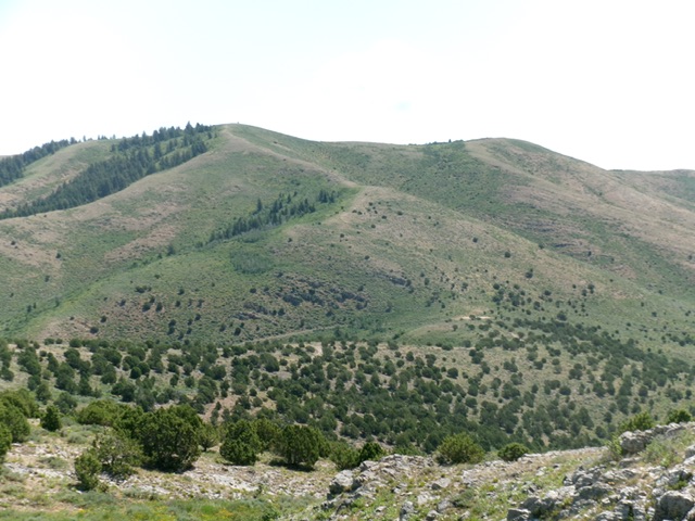
Peak 7140 as viewed from the west. The summit hump is left of center. Livingston Douglas Photo
Access
Same as for Peak 7220. From Sheep Creek Spring Road, head north on BLM roads that go past Taylor Spring and reach Junction 6450, which sits between Peak 6760 and Peak 7140. Access from the north is blocked by posted private ranch land.
Southwest Ridge, Class 2
The Climb
From Junction 6450 on the connecting saddle between Peak 6760 and Peak 7140, scramble east then left-ish/northeast in easy scrub with gaps and remnants of an old 2-track or trail. Reach a better-defined ridge about midway up. Continue northeast then east to the summit in short scrub with lanes and old trails on this magnificent, open ridge crest. The summit has a decent cairn but the high point is about 15 feet away and is not cairned.
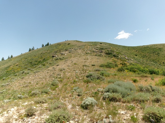
The final push up the southwest ridge to the summit. This was my ascent route. Livingston Douglas Photo
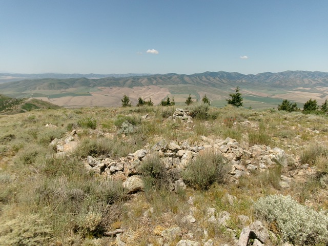
The summit of Peak 7140. Livingston Douglas Photo
Additional Resources
Regions: Pleasantview Hills->SOUTHERN IDAHO
Mountain Range: Pleasantview Hills
Longitude: -112.5520 Latitude: 42.2794