Elevation: 7,263 ft
Prominence: 323
This peak is not in the book. Published October 2025
Peak 7263 is one of two peaks that sit along Fish Creek Road near the headwaters of Fish Creek. Climb nearby Peak 7384 along with Peak 7263. Both of these peaks are foothills in the Pioneer Mountains. USGS Blizzard Mountain North
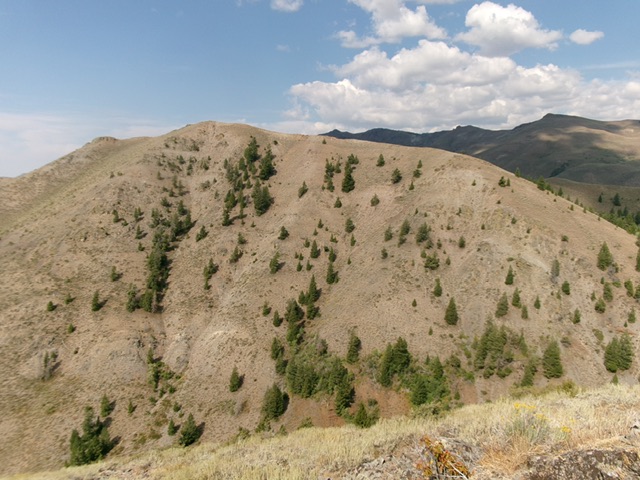
Peak 7263 as viewed from the west. Livingston Douglas Photo
Access
Same as for Peak 7384. This is the second leg of a 2-peak adventure that includes Peak 7384 and Peak 7263. It covers 2.5 miles with 1,825 feet of elevation gain round trip.
Northeast Ridge, Class 2
The Climb
From Fish Creek Road at the toe of the northeast ridge, bushwhack west then southwest up through a mix of forest and scrub (not too bad). The rounded ridge gains definition and steepens as you move higher. The pine trees thin out and the scrub gets easier. Higher up, the pines disappear and the ridge becomes an easy scrub-and-rock scramble up to the open, cairned high point of Peak 7263.
Southeast Shoulder, Class 2+
The Descent
From the summit, descend the rocky, steep-ish southeast shoulder. This shoulder has a nice dry gully to its right/south. Downclimb some rocky outcrops/cliff bands (Class 2+) and some steep, loose talus/scree patches. Stay in scrub whenever possible for better footing. Reach the pine forest near Fish Creek and bushwhack a short distance to the creek. Jump the small creek in thick-ish trees/brush to immediately reach Fish Creek Road. Walk about 50 yards south on the road to return to the parking pullout. The southeast shoulder is a short, steep descent to Fish Creek Road.
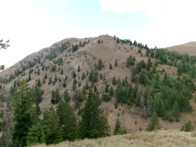
Peak 7263 and its northeast ridge (in center). This was my ascent route. Livingston Douglas Photo
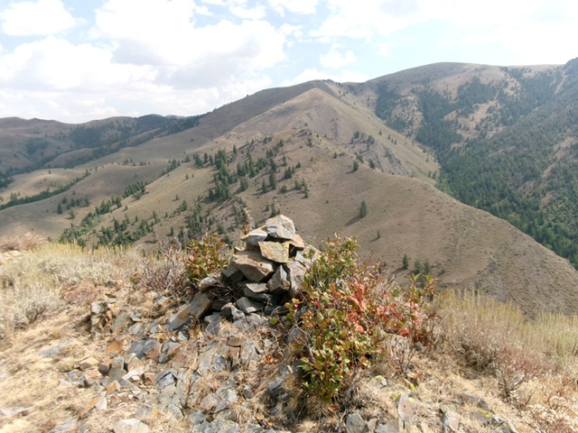
The large summit cairn atop Peak 7263. Livingston Douglas Photo
Additional Resources
Regions: EASTERN IDAHO->Pioneer Mountains
Mountain Range: Pioneer Mountains
Longitude: -113.7256 Latitude: 43.5590