Elevation: 7,486 ft
Prominence: 626
This peak is not in the book. Published October 2025
Peak 7486 is a foothill in the Pioneer Mountains that is located on the east side of Copper Creek Road just south of Muldoon. It is most easily climbed via its west side from Copper Creek Road. Thankfully, ACCESS YES allows hiking across this area of private and public land. USGS Muldoon
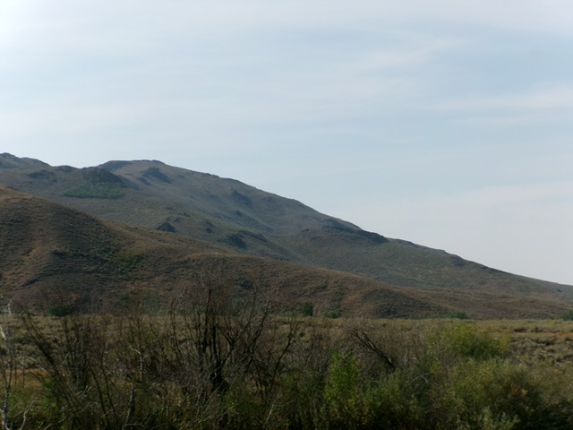
Peak 7486 (in center) as viewed from Copper Creek Road to its southwest. Livingston Douglas Photo
Access
Copper Creek Road/Garfield GS Access [(E)(1) on Page 261]. Here are more detailed driving directions. From US-20 at the north end of Carey, turn west onto [signed] Little Wood Reservoir Road. Reset your odometer here. At 13.7 miles, go straight (left is signed High Five Road). At 14.7 miles, go left (right is signed Flat Top Road). At 20.1 miles, go left (right is signed for the Flat Top Ranch). At 21.4 miles, park in a roadside pullout on the right/east side of Copper Creek Road [6,055 feet; 43⁰32’48.8”N, 113⁰55’36.9”W].
West Ridge, Class 2
The Climb
From the roadside pullout, bushwhack east up through tall, thick sagebrush (initially) then gapped sagebrush with lanes in a very steep face section. Aim to reach a rocky outcrop at Point 6560+. From this rocky outcrop, descend 20 vertical feet east to a flat sagebrush area. Continue bushwhacking east up a ridge to reach a rocky cliff band. Once atop it, scramble east across a flattish section with a few rocky outcrops to go over or work around to reach the cairned high point of Peak 7486.
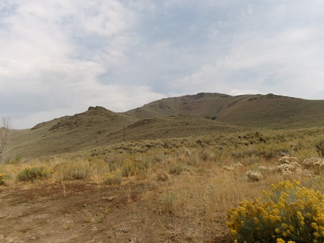
Peak 7486 (summit is well left of center) and its west ridge (diagonal skyline in center and right of center). The west ridge was my ascent route. Livingston Douglas Photo
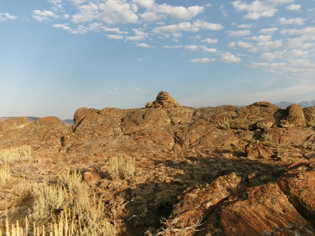
The rocky summit and large summit cairn atop Peak 7486. Livingston Douglas Photo
Additional Resources
Regions: EASTERN IDAHO->Pioneer Mountains
Mountain Range: Pioneer Mountains
Longitude: -113.9155 Latitude: 43.5448