Elevation: 7,502 ft
Prominence: 402
This peak is not in the book. Published October 2025
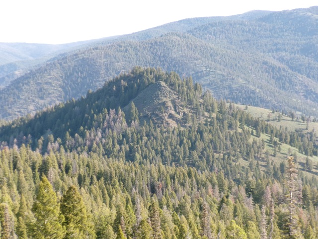
Peak 7502 is located south of Iron Creek and north of Sheephorn Mountain in the Eastern Salmon River Mountains. It is most easily climbed from nearby Peel Tree Road/FSR-083. USGS Degan Mountain
Peak 7502 (in mid-ground) as viewed from Sheephorn Mountain to its south. Livingston Douglas Photo
Access
From US-93 northwest of Challis at virtual MM280.9, leave the highway and cross a nice bridge to the west side of the Salmon River. After crossing the bridge, reach a “T” junction. Go right/north onto Iron Creek Road and drive 3.9 miles northwest up this well-maintained county road to a signed junction with Peel Tree Road/FSR-083. Reset your odometer here. Drive southwest up the winding, steep-ish road. At 6.8 miles, reach a saddle crossing and a signed road junction with FSR-446 (right). Park on this saddle [7,062 feet; 44°53’59.8”N, 114°05’47.0”W].
South Ridge, Class 3
The Climb
From the road saddle, bushwhack directly north then north-northeast up the pine, brush, and talus ridge (with cut tree stumps early on). The ridge gets much rockier and steeper as you advance higher. Scramble up a very steep section of boulders/talus and sagebrush (Class 3) to reach a rocky point. From there, drop 10-15 feet into a pine forest and continue up to a higher rocky ridge point (partially forested).
This is the south summit and it measures of equal height (according to my altimeter) to the official/north summit. Continue north through pine forest (dropping 10 feet to a minor saddle) to reach the hidden, elusive high point of Peak 7502. The north summit had a summit cairn which I built up substantially with larger rocks.
Southwest Face, Class 2
The Descent
Let’s descend an easier, less-rocky route back to the saddle. From the summit, return southeast to near the south summit. Leave the ridge and descend right/southwest down a forested gully with less rock to reach grassy slopes below. This route avoids all of the steep, brushy, rock scrambling required on the south ridge ascent route. Once down below the rocky cap (at about 7,225 feet), angle left/southeast across easy field grass with scattered pines to rejoin the south ridge just above the road saddle in easy forest/grass terrain. Bushwhack a short distance through the forest to the road.
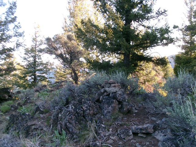
The forested summit of Peak 7502. Livingston Douglas Photo
Additional Resources
Regions: Eastern Salmon River Mountains->Salmon River Mountains->Southeast Corner Peaks->WESTERN IDAHO
Mountain Range: Eastern Salmon River Mountains
Longitude: -114.0958 Latitude: 44.9047