Elevation: 7,552 ft
Prominence: 422
This peak is not in the book. Published October 2025
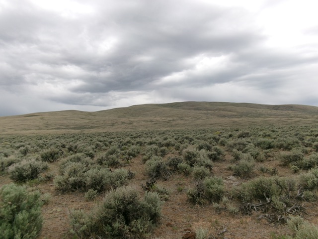
Peak 7552 is the northernmost of the Donkey Hills. It sits due south of Goldburg and is easily reached via a BLM road that comes off the Little Lost River Highway. USGS Spring Hill
Peak 7552 as viewed from Donkey Hills Road to its east. Livingston Douglas Photo
Access
From ID-33 in Howe, drive north on the paved Little Lost River Highway (which becomes a good gravel road) all the way northwest to the Summit Reservoir. Continue northwest on the good gravel road to Junction 6335 at [unsigned] Donkey Creek Road. This junction is 5.0 miles northwest of the southeast corner of Summit Reservoir. Donkey Creek Road is a rutted, dirt 2-track road that can only be driven in bone dry conditions. I was only able to drive 0.2 miles southwest up the road and park in a grassy pullout just before a lengthy section of mud and soft dirt [6,358 feet; 44°20’28.6”N, 113°35’44.5”W].
Northeast Ridge, Class 2
The Climb
From the parking spot, hike southwest then south up Donkey Creek Road to an unsigned junction at a cattle gate crossing. Go right/south here to stay on Donkey Creek Road. Continue hiking south on Donkey Creek Road to a crossing of [small] Donkey Creek at Junction 6562. There is a cattle gate crossing here and a seasonal BLM road closure sign.
Leave the road here and cross a cattle fence. Scramble west up onto a nice shoulder of short, gapped grass/sagebrush. This is the northeast ridge. Climb southwest and find a game/cattle trail (weak but still useful) that skirts the west side of Point 7163 and continues west-southwest a bit farther up the ridge. Scramble up a steeper section of almost bare ground high up to reach the cairned high point at the south end of the summit cap.
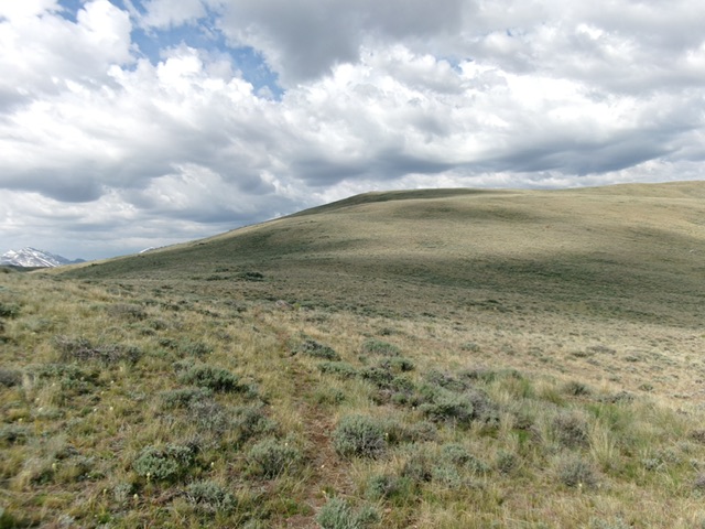
The summit hump of Peak 7552 (in center) as viewed from high on the northeast ridge. This was my ascent route. Livingston Douglas Photo
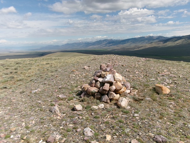
The large cairn atop the bare summit of Peak 7552. Livingston Douglas Photo
Additional Resources
Regions: Donkey Hills->EASTERN IDAHO->Lost River Range
Mountain Range: Lost River Range
Longitude: -113.6285 Latitude: 44.3153