Elevation: 8,285 ft
Prominence: 334
This peak is not in the book. The elevation and prominence figures are based on recent LiDAR updates. Published October 2025
Peak 8285 sits above the headwaters of both Withington Creek and Sevenmile Creek in the northern Lemhi Range. It is most easily climbed from an old jeep trail that comes up from a saddle on its north side. USGS Sal Mountain
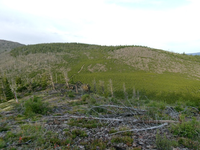
Peak 8285 as viewed from the east. Livingston Douglas Photo,
Access
Same as for Peak 8069. This is the second leg of a 2-peak adventure that includes Peak 8069 and Peak 8285. It covers 5.0 miles with 1,850 feet of elevation gain round trip.
Map Errors
The USGS topo map fails to show all of the old roads and road segments in this area.
Northeast Face, Class 1
The Climb
From the southeast end of the 7,740-foot connecting saddle with Peak 8069, follow an old jeep trail southwest up the northeast face. Go straight/southwest at an early unsigned junction. This rocky jeep trail goes all the way to the semi-open, forested summit area. A final bend right/west puts you on top. This final short road section is weak but it connects to an unmapped jeep trail on the northwest side of the peak. From the summit, return down the jeep trail to the connecting saddle then follow the 2-track road southeast back to the improvised roadside pullout and your parked vehicle.
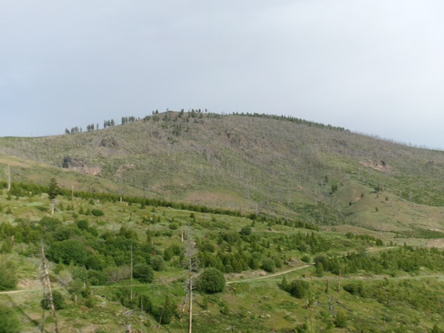
Peak 8285 as viewed from Peak 8069 to its northeast. You can see the old road heading up the peak from the saddle. This was my ascent route. Livingston Douglas Photo
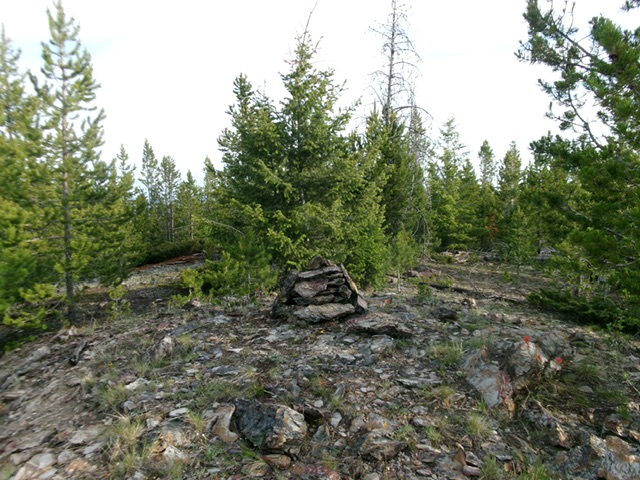
The forested summit of Peak 8285. Livingston Douglas Photo
Additional Resources
Regions: EASTERN IDAHO->Lemhi Range
Mountain Range: Lemhi Range
Longitude: -113.8533 Latitude: 45.05129