Elevation: 5,696 ft
Prominence: 86
This butte is not in the book. Published October 2025
Pence Butte sits due north of Horse Hill and northwest of the Rogerson-Jarbidge Highway. It is located in the middle of the Inside Desert and is due west of the Big Flat Creek drainage in the southern ramparts of the Snake River Plain. USGS Murphy Hot Springs
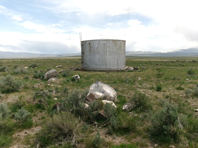
Pence Butte as viewed from the base of the east-side, 2-track road. Livingston Douglas Photo
Access
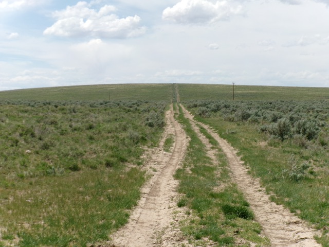
Same as for Horse Hill. Find a signed junction with Clover Three Creek Road about 1.8 miles northeast of Horse Hill on the Rogerson-Jarbidge Highway. Leave the highway and drive 1.4 miles northwest up the well-maintained, smooth BLM road that is Clover Three Creek Road. Reach an unsigned road junction with a weak 2-track road heading left/west directly at Pence Butte. Park in a pullout area at the base of this rugged 2-track side road [5,575 feet; 42°05’49.3”N and 115°16’09.7”W].
Map Errors
The USGS topo map has many errors with regard to roads that exist (or no longer exist) in this area. Do not trust it.
East Face, Class 2
The Climb
This climb is mostly Class 1. From the unsigned road junction, hike west up the 2-track road (with a 15-foot drop early on) to the water tank on the summit area. The high point seems to be some ground boulders just north of the water tank.
The summit of Pence Butte. Livingston Douglas Photo
Additional Resources