Elevation: 6,282 ft
Prominence: 92
This peak is not in the book. Published October 2025
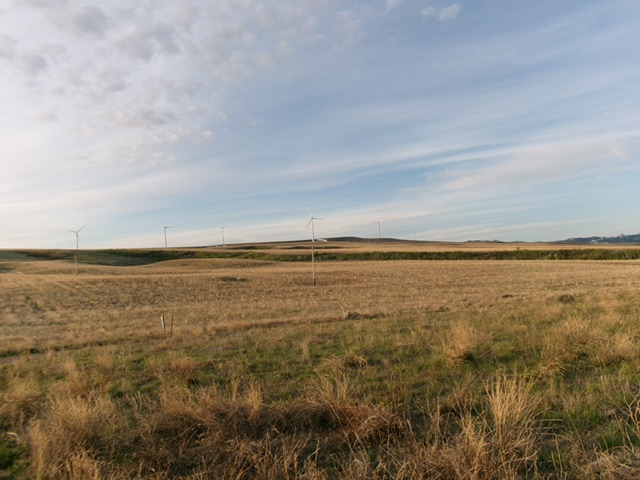
Peterson Hill is the high point on the ridge crest that separates Bone Road from Ammon, Idaho. It is accessible from a maintained county road to its east. It is entirely on private land with wind turbines churning atop it. USGS Ozone
Peterson Hill (dead center) as viewed from the north. Livingston Douglas Photo
Access
Please obtain permission before conducting this climb. Peterson Hill is on posted, private land owned by windmill operators. From the junction of Sunnyside Road and Ammon Road in Ammon, Idaho, drive east on Sunnyside Road for 7.4 miles to a signed junction with Trail Hollow Road, where Sunnyside Road crosses a ridge crest. This is Peterson Hill. Drive 0.6 miles south on [paved] Trail Hollow Road to a ridge crossing. Park here at a gated, posted closure for a service road that heads right/southwest to a windmill [6,230 feet; 43°25’04”N, 111°51’39”W].
Map Errors
The USGS topo map fails to show all of the 2-track roads in this area.
Northeast Ridge, Class 2
The Climb
From the gated road closure, hike southwest on the service road to quickly reach the wind mill. Continue southwest through field grass and scrub to reach the rocky summit. The summit has two USGS benchmarks in ground boulders.
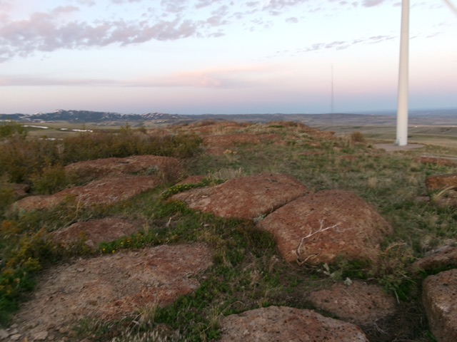
The rocky summit of Peterson Hill. Livingston Douglas Photo
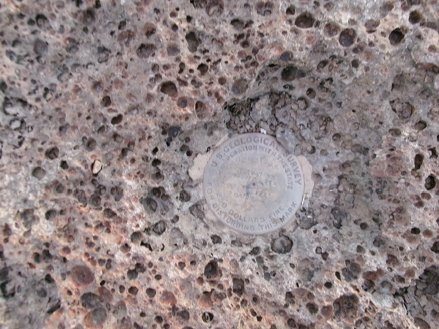
The USGS benchmark atop Peterson Hill. Livingston Douglas Photo
Additional Resources