Elevation: 5,229 ft
Prominence: 159
This butte is not in the book. Published October 2025
Rattlesnake Butte is a remote but beautiful butte on the Snake River Plain northwest of American Falls. It can be reached on decent BLM roads. USGS Pratt Butte
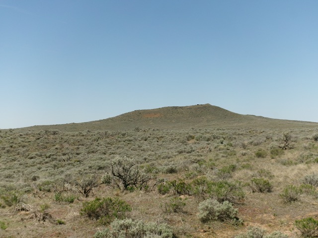
Rattlesnake Butte as viewed from the east. The summit is right of center. Livingston Douglas Photo
Access
Same as for Packsaddle Butte. From Junction 5132, drive 1.8 miles northwest to the unsigned junction for the Antelope Butte climb. Reset your odometer here. Continue northwest on the main road. At 0.9 miles, go left/west at an unsigned junction that sits just north of Antelope Lake. At 3.7 miles, (at Cox’s Well), go straight/northwest at an unsigned junction. At 4.1 miles, bear right at Junction 5062 on maps. At 5.4 miles, reach a 4-way junction (Junction 5081 on maps). Go left/southwest here. At 6.1 miles, park alongside the road in a minor dip/wash [5,040 feet; 43°15’20.6”N, 113°13’41.1”W].
East Face, Class 2
The Climb
From the improvised pullout, bushwhack west directly at the visible summit of Rattlesnake Butte. The terrain is tall, thick sagebrush (initially) then becomes a much easier mix of grass and sagebrush with gaps and lanes in it. There are a few minor ups and downs due to sagebrush gullies and minor ridges. The final scramble up the steep east face is on gravel and sagebrush. Follow the easy ridge crest right/north to reach the rocky summit area. There is a large cairn on top.
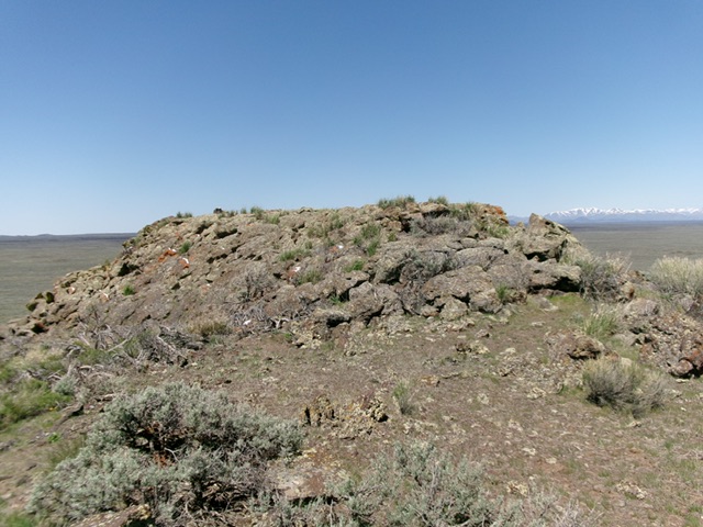
The rocky summit of Rattlesnake Butte. Livingston Douglas Photo
Additional Resources