Elevation: 5,993 ft
Prominence: 103
This peak is not in the book. Published October 2025
Rizzi Table is a large, wide bench that is located on the east side of Cat Creek in extreme southern Idaho on the Snake River Plain. It is most easily climbed from well-maintained Roland Road to its west. USGS Triplet Butte
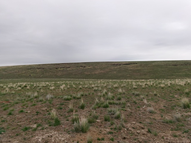
Rizzi Table as viewed from the west. The west face (dead center) was my ascent route. Livingston Douglas Photo
Access
Park at the Zola BM road junction 5726 (on maps) along Roland Road. This junction is located 1.4 miles south of the Totenkopf Junction and 1.2 miles north of the Rowland Junction (see Triplet Butte Access Section). The Zola BM road junction is at 5,726 feet (map) and 42°03’16.1”N, 115°45’41.5”W.
Map Errors
The USGS topo map shows some jeep trails that no longer exist on the east side of Roland Road in the area of this climb. There is no jeep trail on Rizzi Table as the USGS topo map shows.
West Face, Class 2
The Climb
From the Zola BM road junction, bushwhack east-northeast across sagebrush and drop 55 vertical feet to cross a dry, wide gully. Scramble up onto a sagebrush hump/shoulder. From the crest of this hump, descend northeast in thick sagebrush on a narrowing shoulder/ridge to reach Cat Creek. Cross a cattle fence near the shallow, wide creek. Once across Cat Creek, follow good, well-beaten cattle trails south-southeast up a bare shoulder.
Leave this shoulder at about 5,800 feet and head east/east-southeast up over a ridge. Drop about 80 vertical feet to cross a dry drainage and reach the base of the west face of Rizzi Table. Scramble up the west face between two rocky sections/cliff bands and quickly reach the summit area. Head to the high point and find a cairn (which I built up) and two USGS benchmarks that point to the original USGS benchmark (which is gone). Aside from two sections of sagebrush, this is an easy, up-and-down, cross- country adventure to a hidden bench/table.
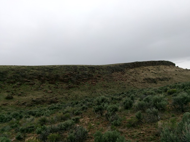
The imposing shoulder on the east side of Cat Creek. It must be climbed to access the west face of Rizzi Table. Livingston Douglas Photo
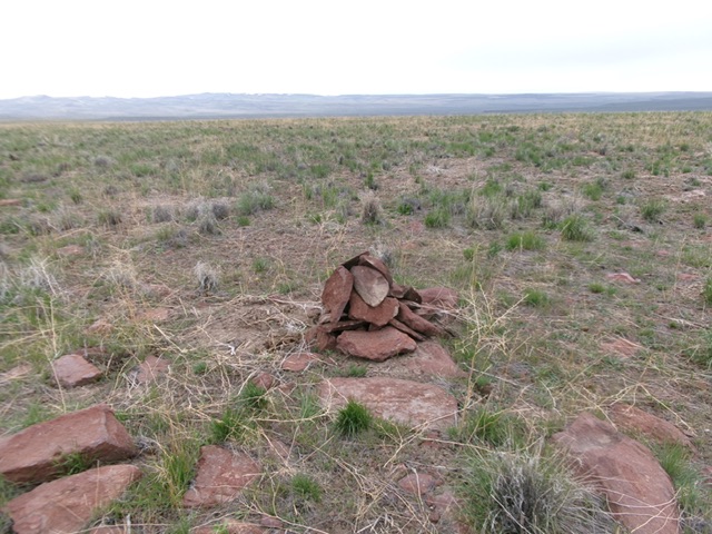
The summit of Rizzi Table and its newly-built summit cairn. Livingston Douglas Photo
Additional Resources